


Description
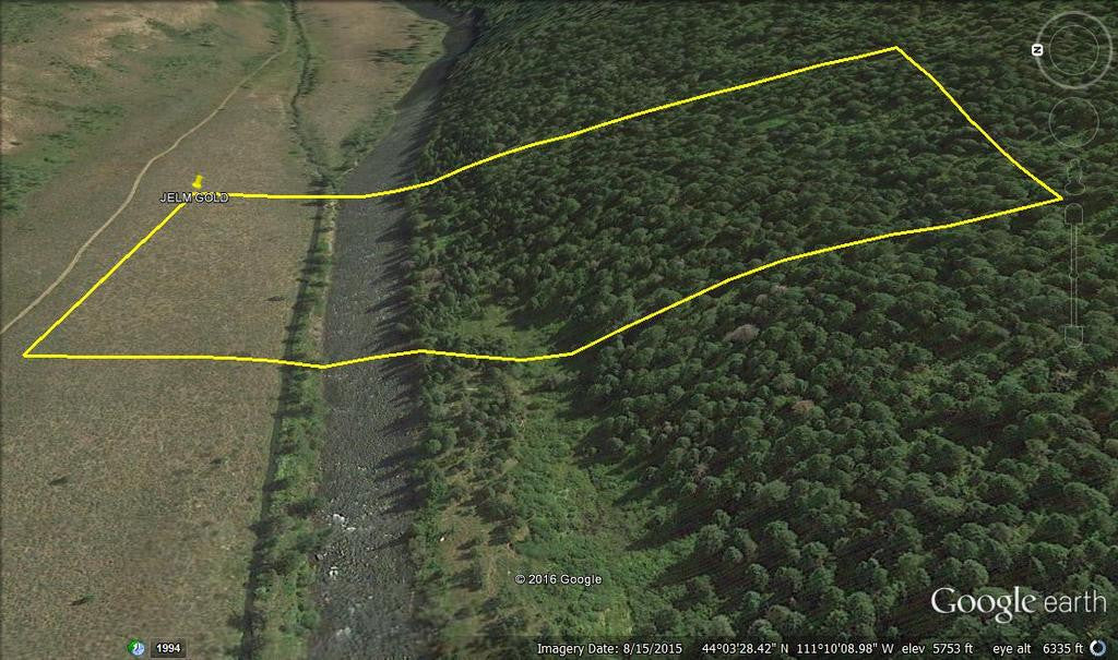
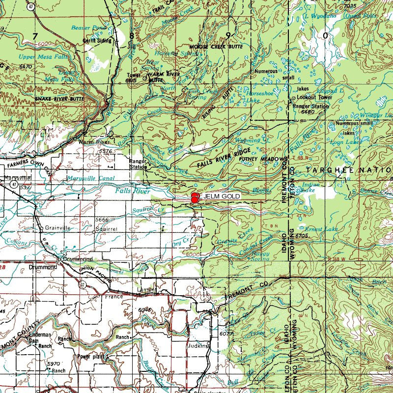
JELM GOLD
IMC216400

20 Acre Unpatented Placer Mining Claim on Federal Land / Falls River, ID


QUICK FACTS ON THE MINE:
Commodities: Gold, Silver, Iron
County: Fremont, ID
BLM Serial Number: IMC216400
Acres: 20
Type of Claim: Placer
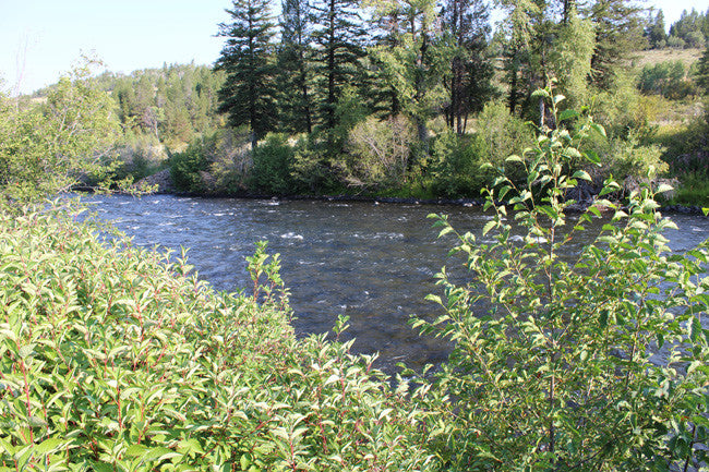
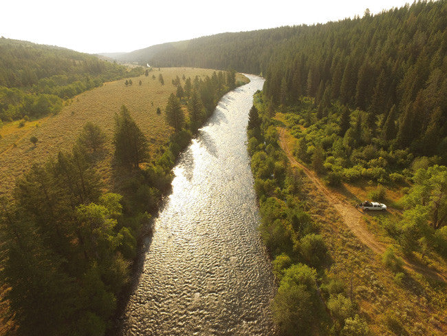
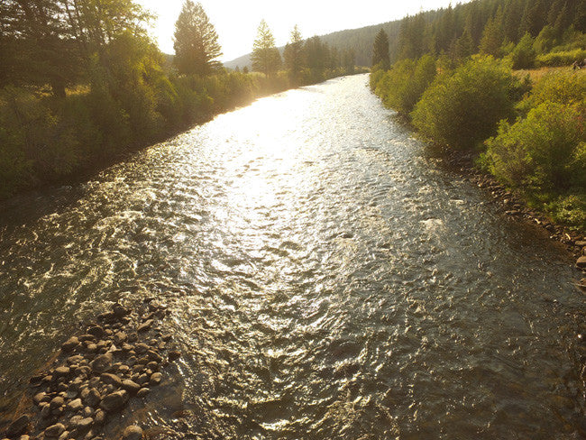
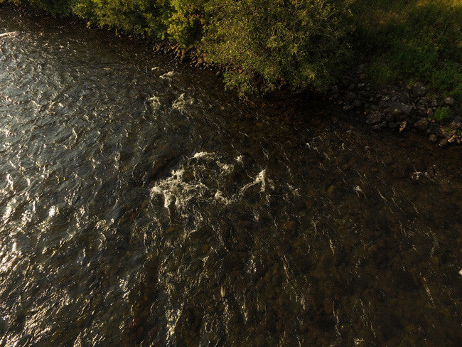
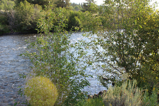
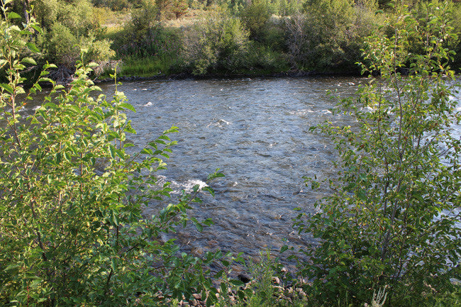
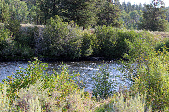
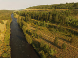
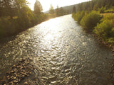
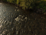
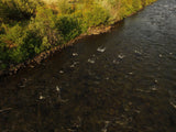
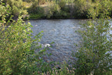
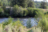
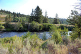
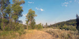
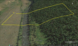
This gold claim and spans over 695 feet of prime working water on Falls River.
Gold can be mined in a variety of ways, including placer mining. This type of gold mining in Ashton ID involves using water or dredging to remove deposits of gold. Likely the most commonly thought of way to extract gold is by panning, though large-scale operations would not use this method. Panning for gold separates the gold from other materials such as gravel or soil. A pan is placed in water and shaken to sort gold, which settles at the bottom of the pan, from the other materials. Gold panning in Ashton Idaho is a popular tourist attraction in places with a history of gold mining, such as Alaska and California.

Buyer will receive the following with their completed transaction:
- Quitclaim deed showing full ownership of the claim. This will be stamped, recorded and verified with the County and the BLM offices.
- Welcome packet with all of the rules and regulations as they relate to the State and BLM where the claim is located.
- Educational documents to annually renew your mining claim with the BLM.
- A CD of all of the documented images of the claim including maps of the site.
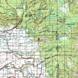
- Map of claim marked and GPS coordinates.
- Multiple maps showing claim location and surrounding areas for access.

Gold mining in Ashton Idaho employs thousands, boosting economies by exporting and trading the valuable material. Gold mining in Ashton ID also provides work to citizens. In developing countries, gold mining in Ashton Idaho can be especially critical in building wealth, particularly if that country does not have other means of trade. Gold production gives developing countries a means of attracting foreign investment. Governments in developing countries can also tax gold mining, giving the government extra revenue.
Although no one knows for sure when gold mining in Ashton ID first began, it has been a profitable venture throughout history and still is today. The California Gold Rush in the mid-1800s is one event often thought of when gold mining in Ashton Idaho is mentioned, but as television programs can attest, gold mining in Ashton Idaho is still thriving today.


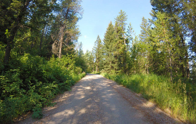
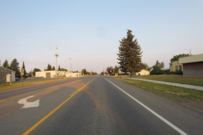
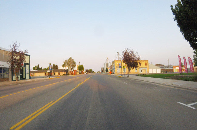
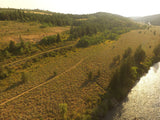
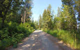
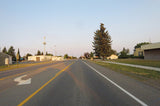
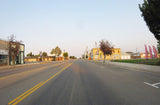
( Road nearby Driving out to the claim )

*FYI – Ashton-Flagg Ranch Road is closed during the winter, so make sure to double check the conditions before heading out.*

Warm River Campground is located on its namesake in the Caribou-Targhee National Forest of southwestern Idaho. Visitors love the campground for its river tubing opportunities. Fishing and hiking are popular as well. This campground is located about 8 miles northwest from the mining claim.
Policies: Wildlife Caution Idaho Off-road Vehicle Safety Message RVs over 30 feet in length and/or any single vehicle over 15
Directions: From Ashton, Idaho, travel northeast on Highway 47 to Warm River. Turn right onto Fish Creek Road and continue 1/4-mile to the campground entrance.


Idaho Department of Lands/Dredge and Placer Mining:
The IDL regulates surface mining in the State of Idaho. Surface mining is the extraction of minerals from the ground by removing the soil and rock over the mineral deposits. The Idaho Surface Mining Act, passed in 1971, requires reclamation of affected lands to return them to a productive condition.
The IDL administers the Idaho Dredge and Placer Mining Protection Act, passed in 1954. Dredge and placer mining is the extraction of minerals containing particles of gold or other valuable minerals, using suction dredges with a nozzle eight inches in diameter or more. A placer deposit can be in a natural watercourse or an ancient river channel high above a stream.
Recreational Mining
The IDL does not regulate recreational suction dredge mining. Recreational dredge mining applies when miners use power sluices, small recreational suction dredges with a nozzle five (5) inches in diameter or less, and equipment rated at a maximum of fifteen (15) horsepower or less. Recreational dredge mining is regulated by the Stream Channel Protection Act administered by the Idaho Department of Water Resources (IDWR). If a miner has a recreational dredging permit issued by IDWR they do not need any additional permits from the Idaho Department of Lands (IDL) to mine in a navigable stream. (https://www.idl.idaho.gov/mining/regulation/index.html)

ABOUT THE COUNTY
|
HISTORY: Fremont County is a county located in the U.S. state of Idaho. As of the 2010 census the county had a population of 13,242. The county seat and largest city is St. Anthony. The county was established in 1893, and was named for the explorer John C. Frémont. Fremont County is part of the Rexburg, ID Micropolitan Statistical Area, which is also included in the Idaho Falls-Rexburg-Blackfoot, ID Combined Statistical Area. Fremont County was established in 1893. It is named for John C. Frémont. The Fremont County Courthouse in St. Anthony is on the National Register of Historic Places. GEOGRAPHY According to the U.S. Census Bureau, the county has a total area of 1,896 square miles (4,910 km2), of which 1,864 square miles (4,830 km2) is land and 32 square miles (83 km2) (1.7%) is water. The southern part of the county covers the northeast tip of the Snake River Basin, with the mountains of the continental divide forming its northern boundary. Montana lies to the north, and Wyoming to the east. A portion of Yellowstone National Park reaches into the county. ( Wikipedia ) GEOLOGY The most commonly listed primary commodities in Fremont County, Idaho deposits are pumice, travertine, and phosphorus. At the time these deposits were surveyed, 3 deposits in Fremont County, Idaho were observed to have ore mineralization in an outcrop, shallow pit, or isolated drill hole—known as an occurance deposit. Grade, tonnage, and extent of mineralization for such deposits are unspecified. Fremont County, Idaho has 1 prospect deposit. Such deposits have some degree of development such as surface trenching, adits, shafts, drill holes, geophysics, geochemistry, or geological mapping to estimate grade and tonnage. ( http://thediggings.com/usa/idaho/fremont-id043 ) |
Fall River rises on the Madison and Pitchstone plateaus in the southwest corner of Yellowstone National Park, Wyoming and flows approximately 64 miles (103 km) to its confluence with the Henrys Fork of the Snake River near Ashton, Idaho. Historically, the river was referred to as the Middle Fork of the Snake River or as Fall River or the Falls River by trappers and prospectors as early as the 1830s. It was officially named the Falls River by the 1872 Hayden Geological Survey, but was always called Fall River by the locals and so the U.S. Board on Geographic Names changed the official name to Fall River in 1997 at the request of Idaho authorities. The river is home to numerous waterfalls and cascades in its upper reaches.

** Yellowstone National Park is about 8 miles Northeast of the claim **
-FAST FACTS-
ACCESS:
To access the claim you are okay to use 2WD. It is relatively easy to reach the claim with the multiple roads that go in and out. The main road that leads you to the claim is E 1200 N, or Ashton-Flagg Ranch Road.
FISHING:
•Cave Falls Road: From Ashton, Idaho drive east on ID-47 toward Mesa Falls and turn right onto Cave Falls Road just out of town. The Fall River is easily accessible from the end of the road
•Grassy Lake Road: It's the only road that cuts through the parks from west to east. From Cave Falls Road, follow signs to Grassy Lake Road/Ashton-Flagg Ranch Road. Park below the Grassy Lake Reservoir Dam and hike to the upper reaches of the Fall River.
HIKING:
The southwest corner of Yellowstone National Park is well known among backpackers. Take a week and connect Cave Falls Road to Old Faithful.


LEGAL NOTES
A mining claim gives the holder the right to mine on mineral-rich land that belongs to the federal government.
We offer a lifetime guarantee should the BLM take back the land.
As the largest company in the mining industry selling legitimate and valuable historic claims, you can rest assured that you are not only covered with our 100% lifetime money-back guarantee, but you can also rest easy that there is no fine print on any of our claim listings telling you will have to deal with any games like being charged phony fees or having to pay inflated “processing” or “transfer” fees. The final price for this is ALL you will pay.
Our in-house legal counsel will complete all of the paperwork and documentation for recording and transferring FULL ownership of this mine into your name if you win the auction, AND we will ship you everything in one to two business days of receipt of your payment in full (usually just one day!). So you can plan to visit (and start working) your claim the next day without the lengthy delay you will experience with other companies selling claims –and you will not have to pay any extra costs, fees or other poor excuses for extra profit that normally just go into a seller’s pocket.
-PLUS-
We'll take care of all the paperwork and arrangements so you can enjoy your claim immediately after payment and we keep you informed through the entire process with confirmations when payment is received, when your paperwork has been shipped.

SHIPPING
While we cannot physically ship land to you as it doesn't quite fit into the mail box ;)
We will ship all paperwork/maps upon payment clearing we ship same business day (if payment is received by 1PM P.S.T.) We do ship same business day with USPS. We always provide tracking information so you are always informed.
