Description
GREY BEARD'S
AMC441159

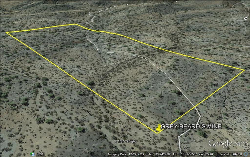
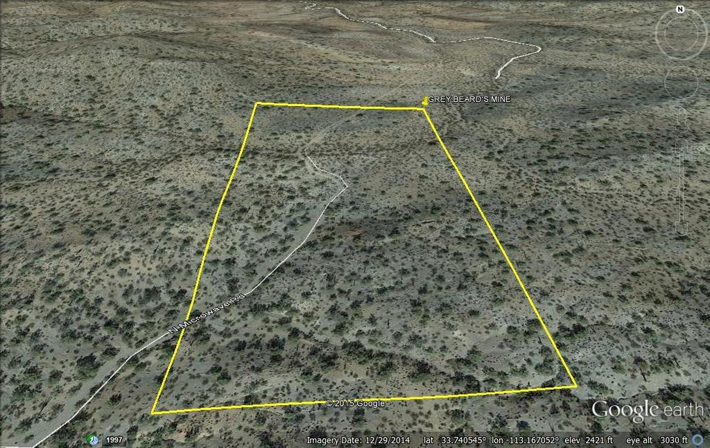
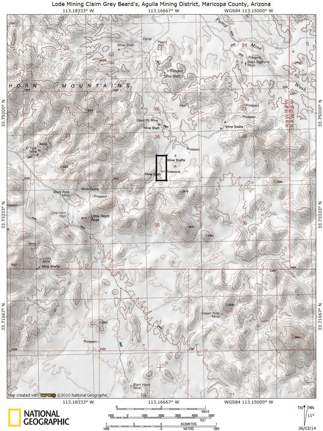
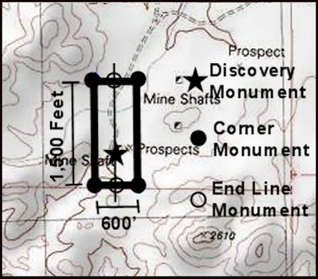
20.66 Acre Unpatented Lode Mining Claim on Federal Land in the Historic Aguila Arizona Mining District / Maricopa County Arizona

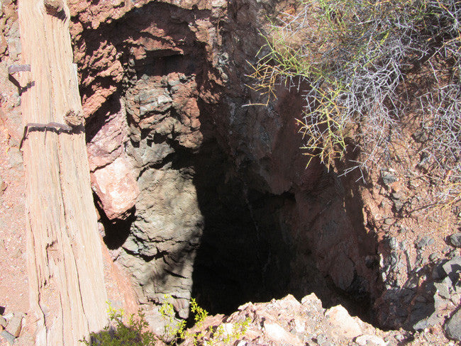
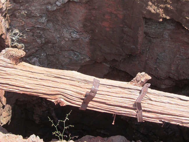
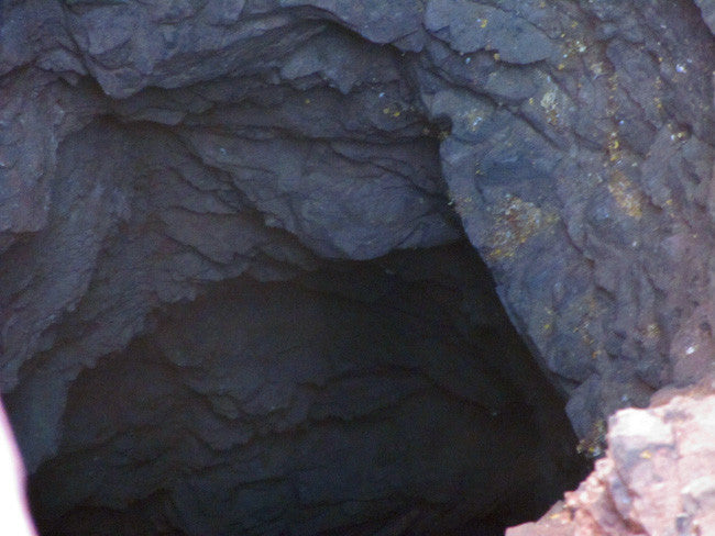
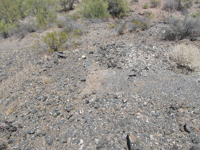
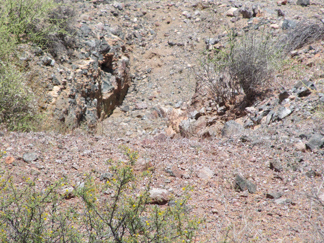
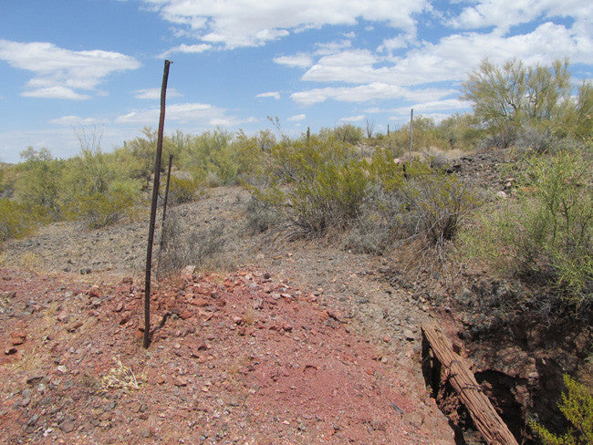
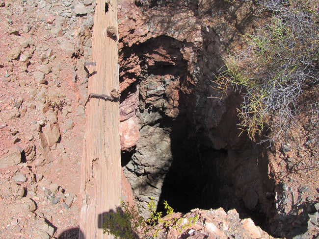
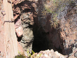
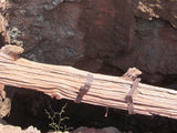
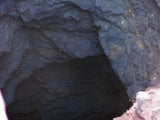
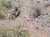
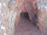
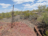
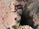
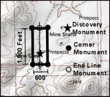
Three mines on this claim – the main shaft is cut from hard rock and is still solid, although the last remnants of the collar are all but gone. The shaft descends vertically to a depth of 112’. It is supposed to connect to the 2nd shaft at a depth of 85 feet according to the last USGS report dated 1953 on the area, but you can’t really see enough detail from the surface at the 85 foot level without roping up and descending.

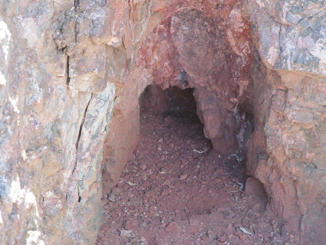
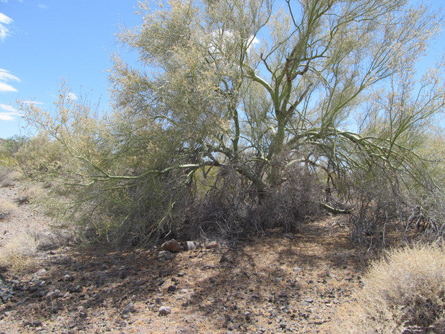
The second mine consists of a shaft to just over 14 feet in depth, then two adits appear to had SE towards the main shaft and NE in the opposite direction, although both are partially blocked by 3 to 4 feet of loose gravel that has accumulated from natural erosion over the years, so you’ll need an hour or two to shovel some of that out before you can explore them. It’s possible that the one heading to the main shaft gently descends to the 85 level and was either an access portal for pulling ore or was a separate working that wound up connecting due to the vein. It’s about 275’ away from the main shaft, so that would be a nice adit to explore, as it probably hasn’t seen a human in close to a century.


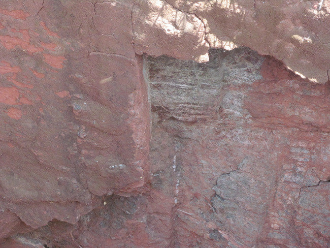
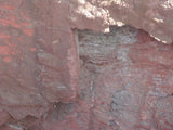
The third mine looks like it was just a prospect at one time, but someone expanded it into a nice open cut exposing the same predominant vein that they were working on the first two mines, so it is a nice safe opportunity to pull and work some material before you break a sweat entering the shafts.


Buyer will receive the following with their completed transaction:
- Quitclaim deed showing full ownership of the claim. This will be stamped, recorded and verified with the County and the BLM offices.
- Welcome packet with all of the rules and regulations as they relate to the State and BLM where the claim is located.
- Educational documents to annually renew your mining claim with the BLM.
- A CD of all of the documented images of the claim including maps of the site.
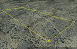
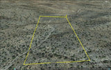
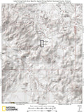
- Map of claim marked and GPS coordinates.
- Multiple maps showing claim location and surrounding areas for access.


ABOUT THE MINING DISTRICT
This is one of only a handful of available mines from the historic Aguila Arizona mining district. Aquila is largely known as a manganese and copper mining area that is located at the North end of the Bighorn Mountains, about 14 miles South of Aguila at an altitude of 2,300 feet. At one time it was actually the second greatest producer of manganese in all of Arizona.In 1920, the USGS did a major study on the area and reported that in addition to manganese, Aguila was also a major producer of Copper. They noted that the local ores, which are composed of “Pre-Cambrian granite, gneiss and schist overlain by Tertiary lava flows”, contained considerable amounts of gold as well as large concentrations of lead and silver.

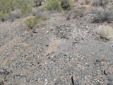
During WWII, when the government outlawed the mining of precious metals in order to focus the mining industry on mining minerals and metals considered vital for the war effort, Aguila became a big for area for “manganese” as you can probably imagine. Manganese, which is a chemical element (designated by the symbol Mn with the atomic number 25) is a metal with important industrial metal alloy uses, particularly in stainless steels and was considered a strategic mineral so therefore it was still legal to mine. A lot of manganese was mined here as the record books show, but there was also a large amount of gold, silver and lead that is still visible in the many high grade ore piles that have just been set aside and never shipped.


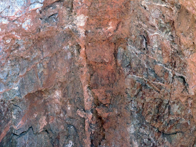
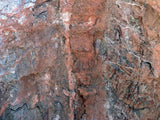
The clearly exposed and visible individual deposits on this claim range from narrow veins with small but enriched high grade ore shoots, to wide shear and breccia zones of medium grade material. The chief manganese minerals are the common oxides, usually occurring as a mixture of pyrolusite, psilomelane, wad, and manganite. The gangue is composed largely of calcite, quartz; and unreplaced fragments of wall rock.


Aguila, AZ
Aguila is a CDP in Maricopa County, Arizona, United States. It is located on U.S. Route 60 approximately 20 miles west of Wickenburg, or at approximately 50000 N. 510th Ave. Major economic activities include cantaloupe farming and mining. It uses the same street numbering system as Phoenix. As of the 2010 census, the population of Aguila was 798.
Eagle Eye Road heading south out of Aguila from Hwy 60 offers beautiful wilderness areas for jeep rides, hiking trails, rock hounding and scenic views.


LEGAL NOTES
Mining claims are a tangible asset and show proof of all interests in minerals in the area. They can be bought, sold or used as collateral, just like any other piece of real estate. A mining claim can be sold, traded, leased, gifted, willed, used as collateral or transferred in part or in its entirety just like any other real property using a quitclaim deed which is a recordable conveyance.
We offer a lifetime guarantee should the BLM take back the land.
As the largest company in the mining industry selling legitimate and valuable historic claims, you can rest assured that you are not only covered with our 100% lifetime money-back guarantee, but you can also rest easy that there is no fine print on any of our claim listings telling you will have to deal with any games like being charged phony fees or having to pay inflated “processing” or “transfer” fees. The final price for this mine is ALL you will pay.
Our in-house legal counsel will complete all of the paperwork and documentation for recording and transferring FULL ownership of this mine into your name if you win the auction, AND we will ship you everything in one to two business days of receipt of your payment in full (usually just one day!). So you can plan to visit (and start working) your claim the next day without the lengthy delay you will experience with other companies selling claims –and you will not have to pay any extra costs, fees or other poor excuses for extra profit that normally just go into a seller’s pocket.
-PLUS-
We'll take care of all the paperwork and arrangements so you can enjoy your claim immediately after payment and we keep you informed through the entire process with confirmations when payment is received, when your paperwork has been shipped out.

While we cannot physically ship land to you as it doesn't quite fit into the mail box ;)
We will ship all paperwork/maps upon payment clearing we ship same business day(if payment is received by 1PM P.S.T.) We always provide tracking information so you are always informed.
