


Description
JADE PRINCESS MINE
NMC1139933

20.66 Acre Unpatented Lode Mining Claim on Federal Land / Beatty/Bare Mountain, Nye County, Nevada

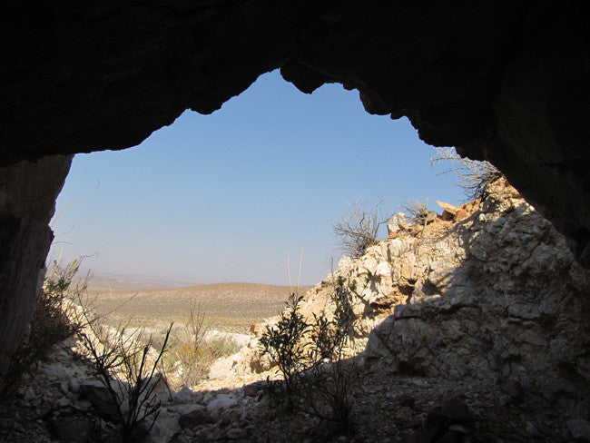
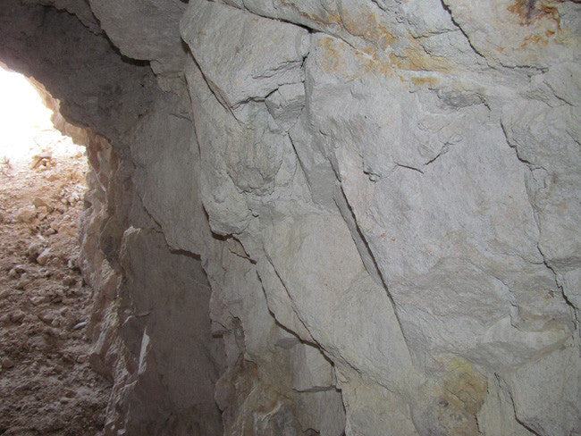
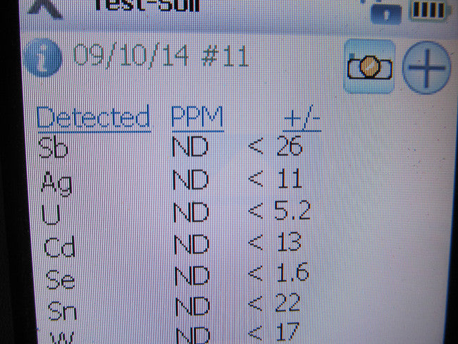
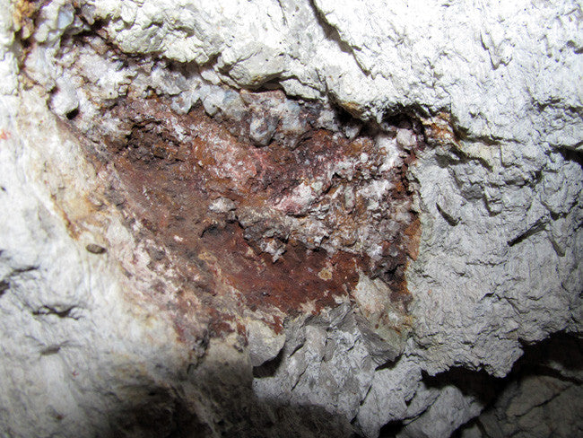
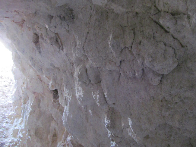
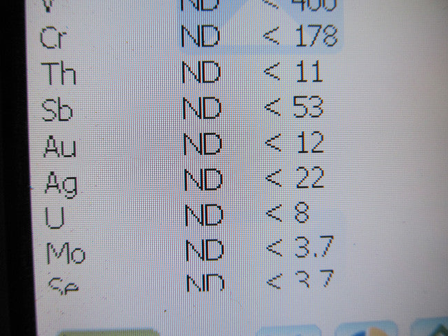
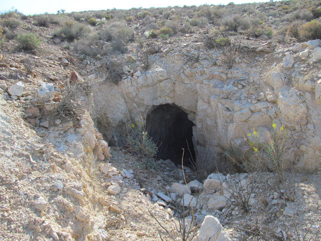
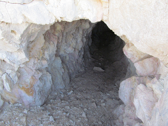
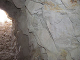
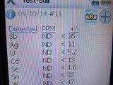
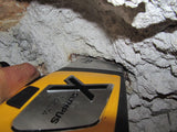
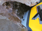
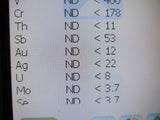
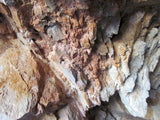
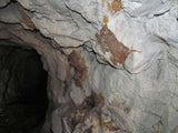
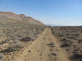
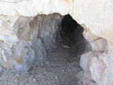
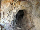
The Jade Princess mine is a 68' deep adit/tunnel, cut in hard rock. This claim has a vein that is highly mineralized, and so is the area itself. Very good gold and silver readings here, and it looks like this was cut back in the 1980's, but that is not definite. You can access the claim by 2WD.


TO VIEW MORE PICTURES: CLICK HERE


Buyer will receive the following with their completed transaction:
- Quitclaim deed showing full ownership of the claim. This will be stamped, recorded and verified with the County and the BLM offices.
- Welcome packet with all of the rules and regulations as they relate to the State and BLM where the claim is located.
- Educational documents to annually renew your mining claim with the BLM.
- A CD of all of the documented images of the claim including maps of the site.
- Map of claim marked and GPS coordinates.
- Multiple maps showing claim location and surrounding areas for access.


Introduction
Bare Mountain lies along the northeast side of U.S. Highway 95 for about 1 S miles south of the town of Beatty in southern Nye County.,Nevada. Crater Flat, Yucca Mountain, and the Nevada Test Site lie to the east of Bare Mountain. The wide Amargosa Valley and the California border are to the southwest of Bare Mountain, and the Bullfrog Hills are located to the northwest, west of the town of Beatty.
Bare Mountain stands out as an island of Paleozoic rocks, nearly surrounded by young volcanic rocks. It appears as a mass of older bedrock situated along the margins of the large caldera complexes that scallop it on its northern and eastern sides. Bare Mountain itself is an impressive but barren mountain mass composed mainly of colorful, zebrastriped sedimentary rocks which are almost totally lacking in vegetative cover.
The first mining activity at Bare Mountain is credited to Mormons who found gold on the west slopes of Wildcat Peak on the southern tip of the mountain in about 1861. Ores were supposedly transported to the camp of Gold Center, on the Amargosa River south of present-day Beatty, for smelting (Carper, 1921).
The present era of mining activity, however, dates back to early 1905 when gold was discovered on the northeast end of Bare Mountain (Lincoln, 1923, p. 167). Mercury was discovered in deposits on the northeast flank of the mountain in 1908, and the fluorite deposits in the north and east portions of the mountain were discovered in 1918 (Lincoln, 1923, p. 18). At Carrara, on the western side of the range, attempts were made between 1904 and 1936 to quarry marble for building material, but this activity never succeeded.
The most recent mining and exploration activity in the range is centered around the Sterling gold mine where disseminated gold deposits were discovered in 1980.


Geological Setting
Bare Mountain is composed almost entirely of late Precambrian and early to mid-Paleozoic sedimentary rocks that have been intensely deformed by folding and faulting. In general, Precambrian and Cambrian rocks crop out along the western slope and the southeast-trailing tail of Bare Mountain, while Ordovician through Mississippian formations make up the eastern half of the wide north end of the mountain mass. For the most part, the sedimentary rocks dip northward in successive blocks separated by right-lateral tear faults and flat thrusts (Cornwall, 1972, p. 31).

Some of the features mapped as thrusts may be alternately interpreted as gravity slide blocks and could be related to the collapse of the large caldera structures that border the Paleozoic bedrock of Bare Mountain. The area of lower relief, north of Bare Mountain and generally north of Fluorspar Canyon, is underlain by Miocene volcanic rocks. These volcanic rocks, which rim Crater Flat to the east as well, are highly faulted and consist largely of welded ashflow tuffs (Carr, 1982, p. 6). The ash-flow tuffs are interpreted by Carr 11982) as having two distinctly separate sources. The oldest tuff unit, Crater Flat Tuff, had as its source calderas in the area now occupied by Crater Flat.
This unit has been dated at 14-1 5 M.Y. (Christiansen and others. 1977. p. 947). The Crater Flat Tuff is overlain by the younger Paintbrush Tuff and Timber Mountain Tuff that are interpreted to have originated from the large Timber Mountain-Oasis Valley caldera complex which lies to the north of Bare Mountain (Carr, 1982. p. 8).
Altered rhyolite to rhyodacite dikes crop out generally along the eastern margin of Bare Mountain and cut across the narrow midsection of the range from northeast to southwest, transecting the Paleozoic bedrock. Carr (1982) reports a date of 13.9 m.y. for these dikes and states that they are the same age as lava flows that underlie the oldest Crater Flat Tuff unit. The dikes, in outcrop, form an arcuate pattern gently concave toward Crater Flat. Carr (1982) postulates that these dikes could represent outer ring dikes beyond the west wall of the Crater Flat collapse. Fluoriterich breccia pipes occur in conjunction with dikes at the Diamond Queen (Goldspar) Mine on the east edge of Bare Mountain, and the gold mineralization at the Sterling Mine occurs in an area cut by these dike rocks.

Mineral Deposits
Mineral deposits on and around Bare Mountain fall into two general categories: gold-base metal-quartz vein deposits hosted by Precambrian and Cambrian sedimentary rocks and gold-mercury-fluorite deposits that occur both in Cambrian sedimentary rocks and Miocene volcanic rocks.
The base-metal vein occurrences are scattered along the western slopes of Bare Mountain, and the gold and mercury occurrences are clustered in four general areas along the eastern and northern edges of the mountain.
Gold-bearing quartz veins, high in base metals, occur in the west-draining canyons and along the western slopes of Bare Mountain. The veins commonly contain calcite as well as quartz, and they fill fault zones and shears that cut Precambrian-Cambrian quartzites, dolomites, and schists.
The veins follow northeast, north-south, and some eastwest shears and faults. Veins on some properties are described as following thrust fault zones. Weak skarns, with associated tungsten mineralization, have been reported from two areas, the Silver Peak claims just north of Steves Pass and the Bonanza and Grand Junction claims in Tungsten Canyon.
The metal sought at most of the properties in this area was gold, but silver, copper, lead, and zinc commonly provide the most visible minerals at the various properties.


LEGAL NOTES
A mining claim gives the holder the right to mine on mineral-rich land that belongs to the federal government.
Mining claims are a tangible asset and show proof of all interests in minerals in the area. They can be bought, sold or used as collateral, just like any other piece of real estate. A mining claim can be sold, traded, leased, gifted, willed, used as collateral or transferred in part or in its entirety just like any other real property using a quitclaim deed which is a recordable conveyance.
We offer a lifetime guarantee should the BLM take back the land.
As the largest company in the mining industry selling legitimate and valuable historic claims, you can rest assured that you are not only covered with our 100% lifetime money-back guarantee, but you can also rest easy that there is no fine print on any of our claim listings telling you will have to deal with any games like being charged phony fees or having to pay inflated “processing” or“transfer” fees. The final listing price for this mine is ALL you will pay.
Our in-house legal counsel will complete all of the paperwork and documentation for recording and transferring FULL ownership of this mine into your name if you purchase, AND we will ship you everything in one to two business days of receipt of your payment in full (usually just one day!). So you can plan to visit (and start working) your claim the next day without the lengthy delay you will experience with other companies selling claims –and you will not have to pay any extra costs, fees or other poor excuses for extra profit that normally just go into a seller’s pocket.

While we cannot physically ship land to you as it doesn't quite fit into the mail box ;)
We will ship all paperwork/maps upon payment clearing we ship same business day (if payment is received by 1PM P.S.T.) We always provide tracking information so you are always informed.
