


Description
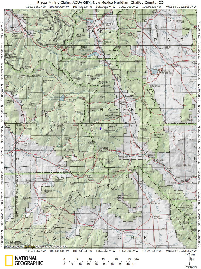
The AQUA GEM mining claim is located within Chaffee County Colorado. With this claim you will be getting the exclusive mineral rights to 20 acres on an excellent spot near the river to work at your leisure. Mt. Antero is the 3rd highest gem field in the world and is the highest in North America with findings well above the timberline. Mt. Antero is known by many as a great place for recreation- not just by rock hounds, but by hikers, campers, climbers, and off-road enthusiasts as well.
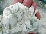
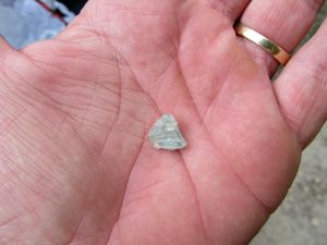
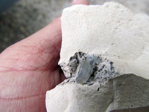
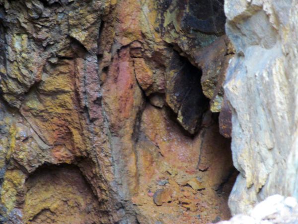
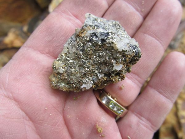
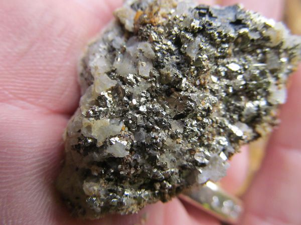
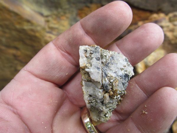
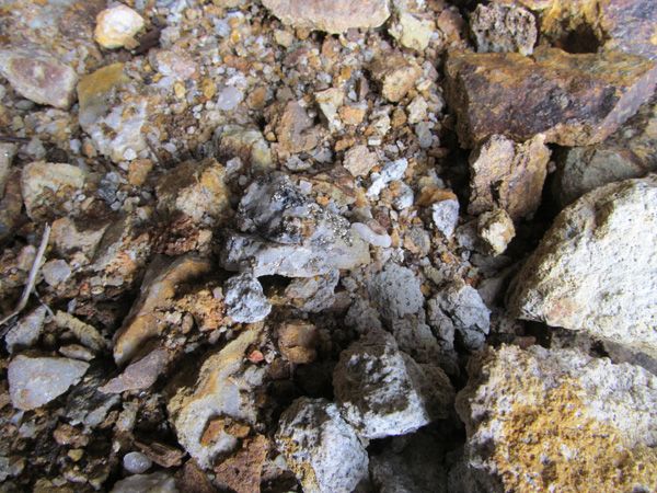
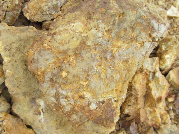
Below are samples that were found in the local area:
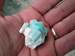
(On the Left :Aguamarine / On the Right: Amazonite)
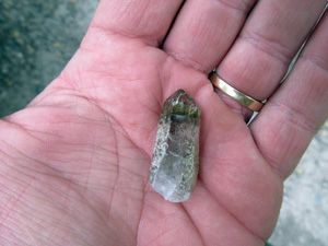
(On the Left: Amethyst and Smokey Quartz with Inclusions / Right: Blue Barite)

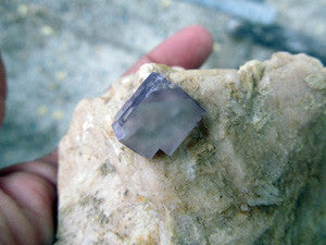
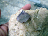
(Fluorite)
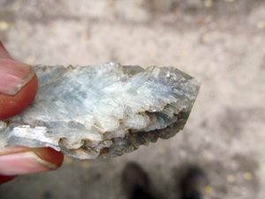
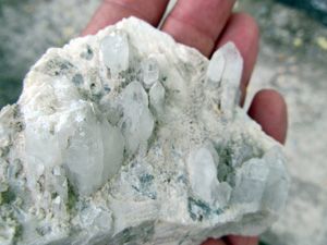
(On the Left : Blue Barite / On the Right: Quartz from the famous Subway pockets on Mt Antero)
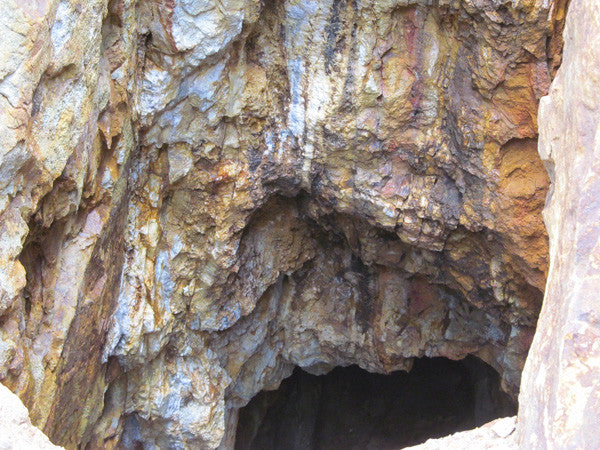
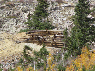
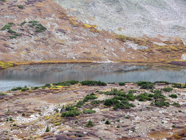
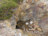
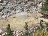
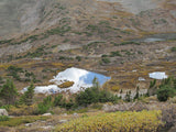
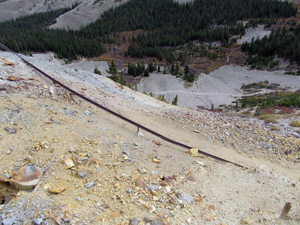
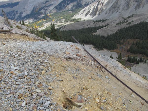
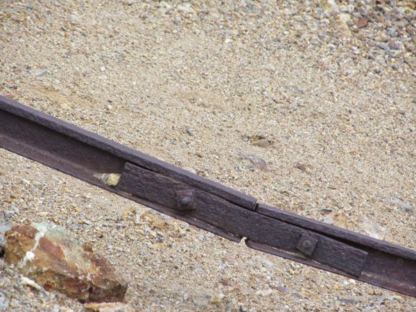
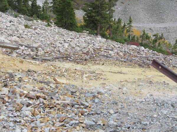
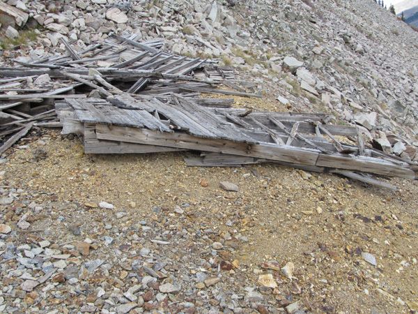
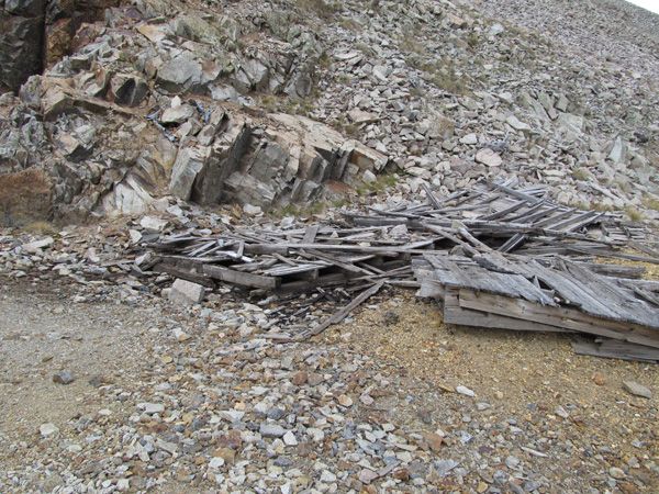
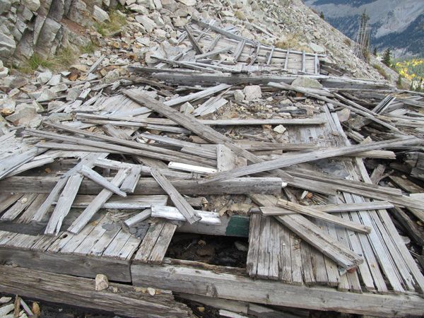
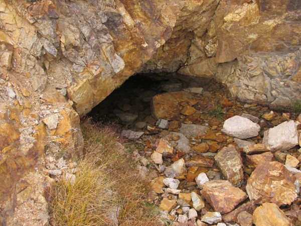
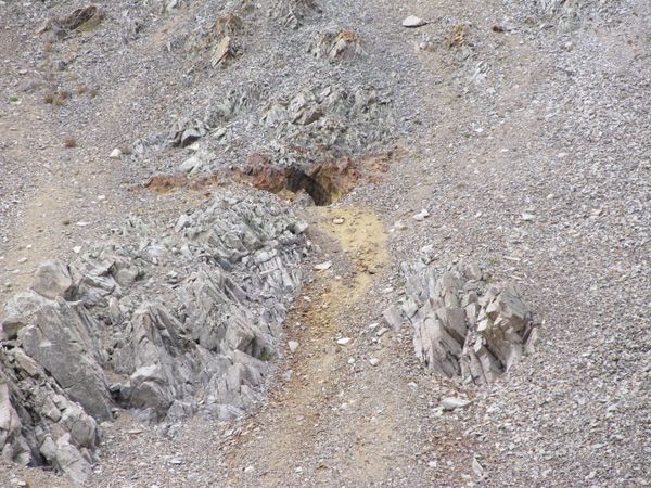
Our team spotted this claim in the general area on the way to the Skyline Mine. It appears to be around 80 years old. We found it at around the 12.600 ft elevation point.
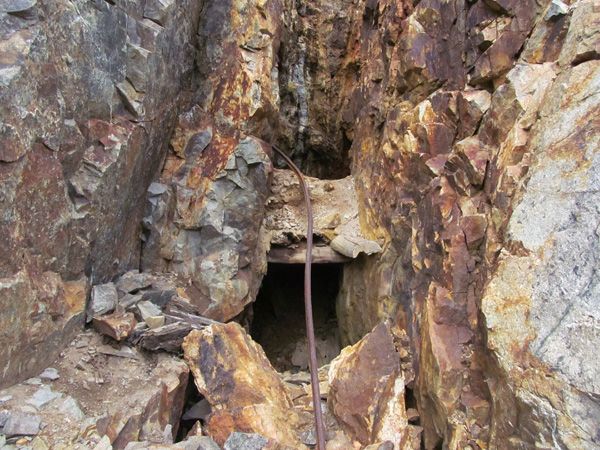
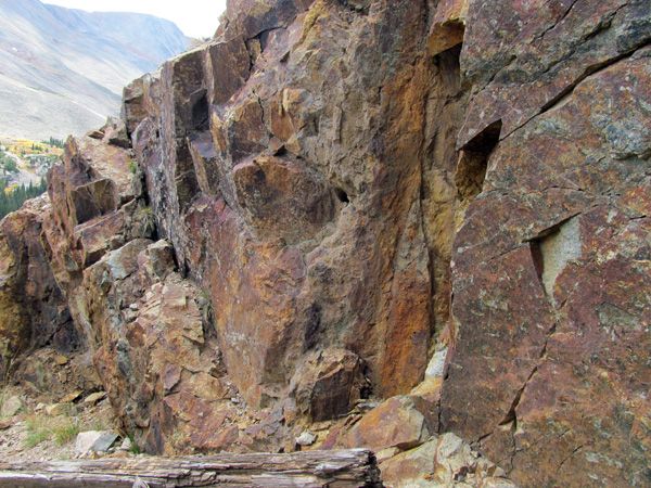
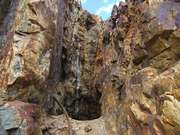
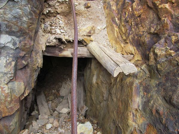
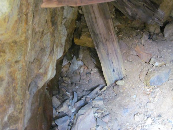

There also appeared to be reminants from the miners like an old collapsed cabin and rail tracks.
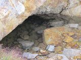
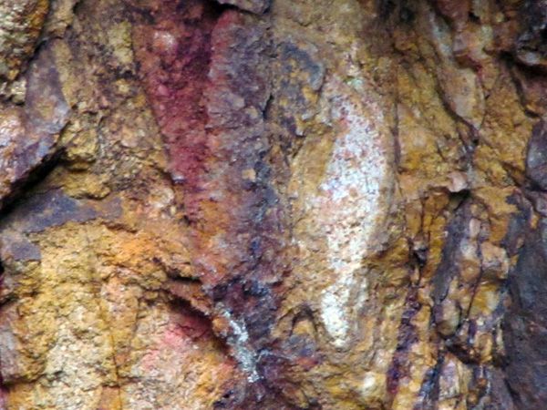
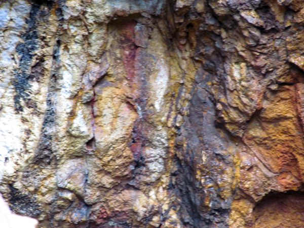
We did find shiny ;) things nearby
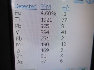
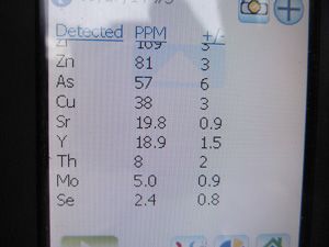
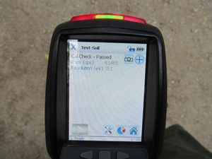
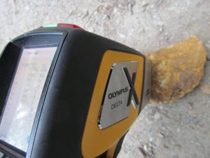
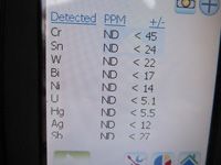
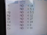
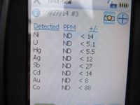
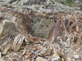
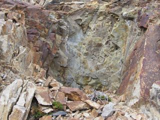
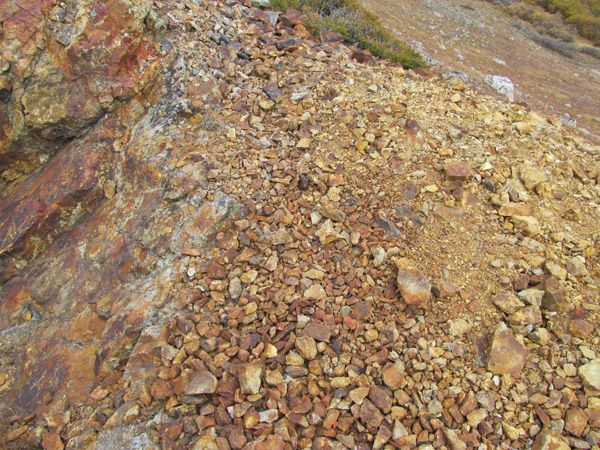
Below are some surface testing results using the XRF gun:
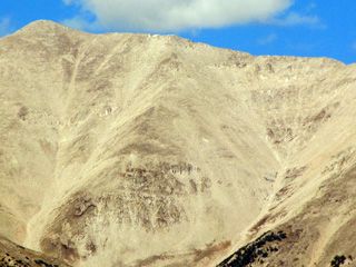
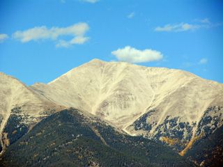
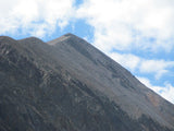
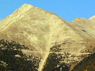
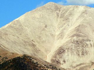
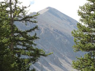
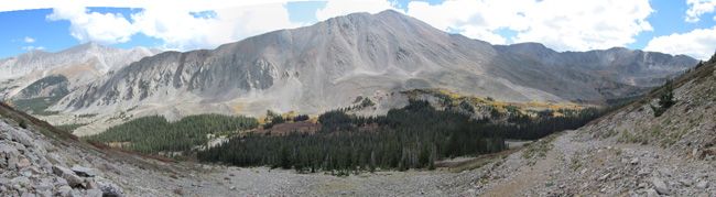
Mount Antero, CO
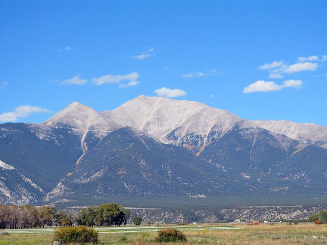
Mt Antero is the 11th largest peak in the state of Colorado
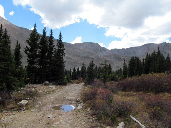
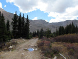
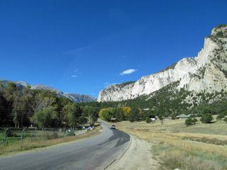
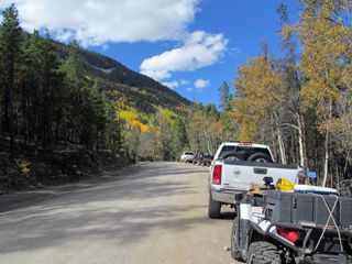
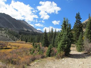
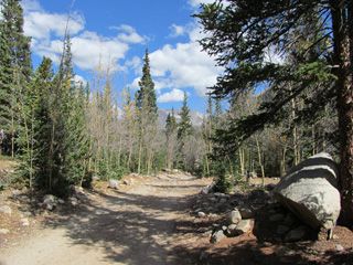
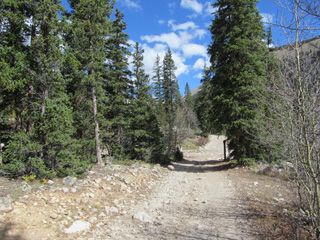
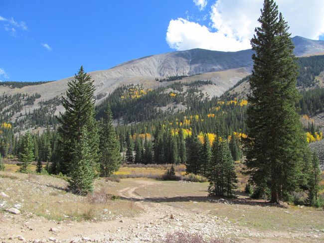
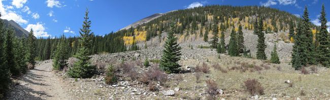
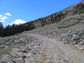
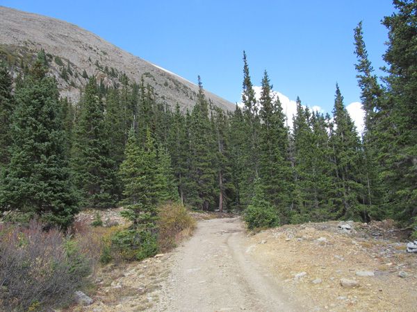
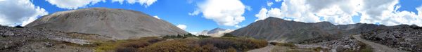
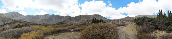
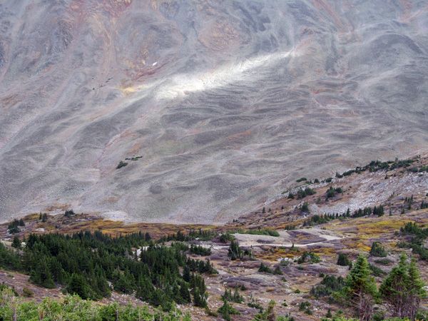
Below is the picturesque road on the way to the claim


As the largest company in the mining industry selling legitimate and valuable historic claims, you can rest assured that you are not only covered with our 100% lifetime money-back guarantee, but you can also rest easy that there is no fine print on any of our claim listings telling you will have to deal with any games like being charged phony fees or having to pay inflated “processing” or “transfer” fees. The listing price for this mine is ALL you will pay.
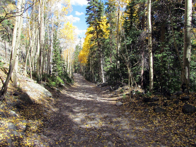
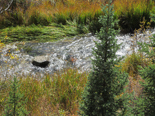
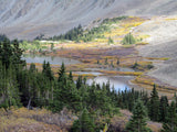
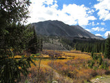
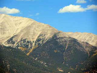
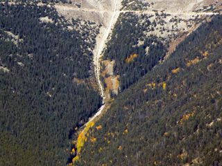
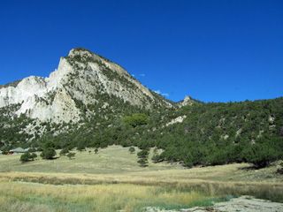
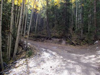
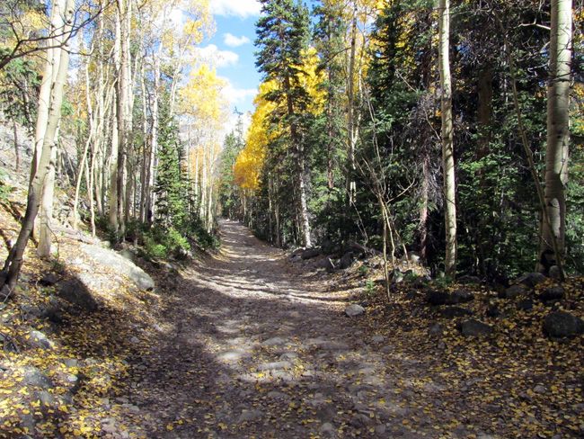
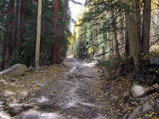
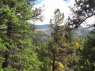
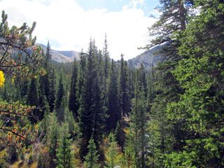
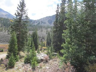
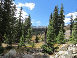
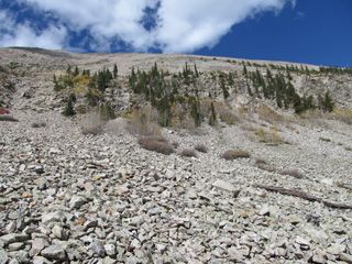
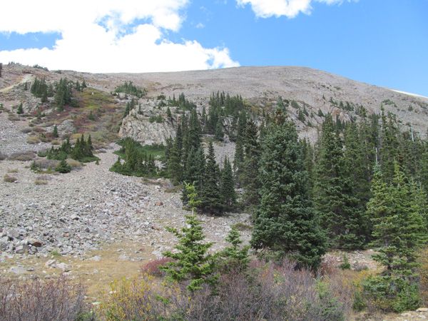
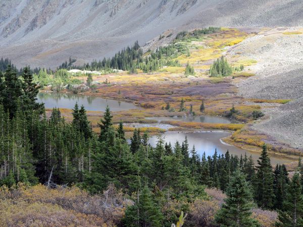
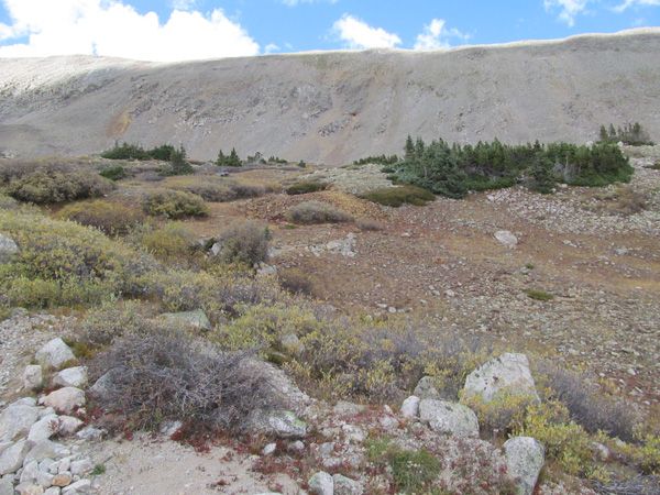
The below shots were taken between 9,000 and 11,500' in the Sub Alpine Zone
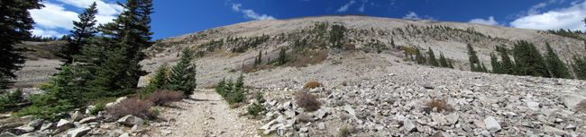

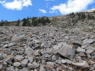
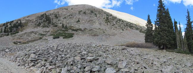
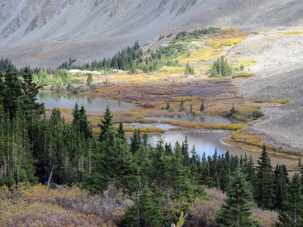
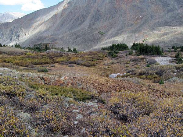
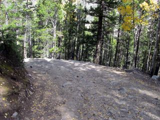
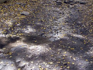
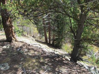
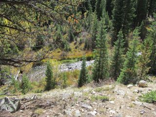
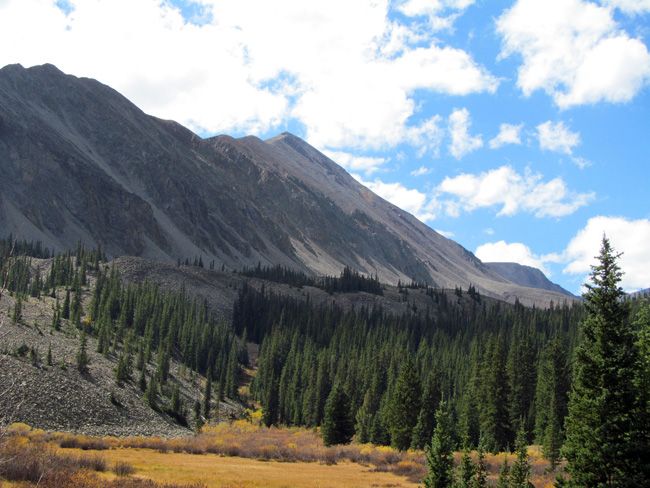
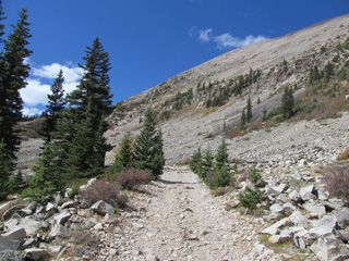
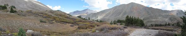
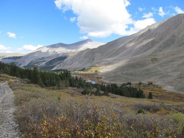
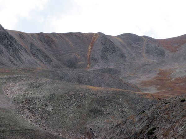
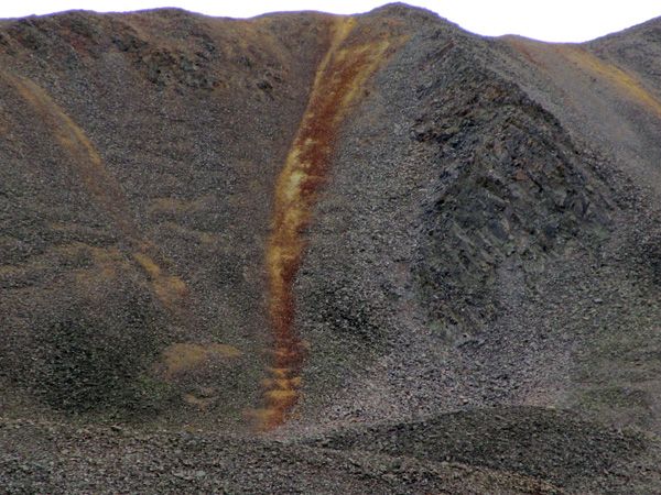
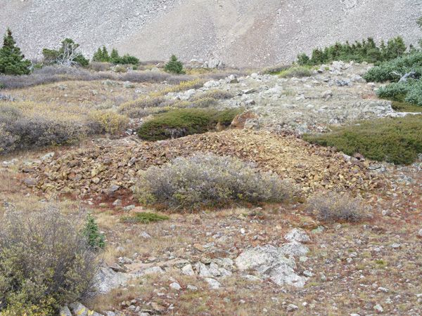
The pictures below are leaving the Sub Alpine zone and entering the Alpine zone / Talus Fields. These fields are one of the biggest producers in the world in regards to gems!!
(Scroll down to see all pictures)


Come to Hike, Camp, Ride and Shoot - or come to pull some shiny rock$ out of the ground;-)
ABOUT THE MINING DISTRICT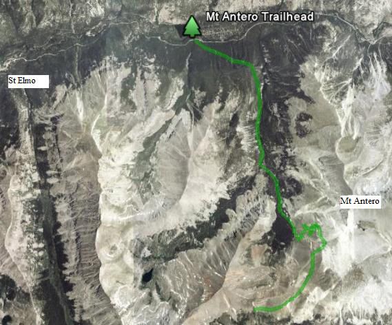

Mount Antero MINING DISTRICT, CAFFEE COUNTY, CO
GEOGRAPHY
At it’s peak, Mt. Antero stands at 14,269ft. above sea level- Also known as a “fourteener” by mountaineers. Mt Antero is the 11th largest peak in the state of Colorado, with Mt Elbert as the highest (14,433ft.) and Rio Grande Pyramid (13,821ft.) at the smallest. This mountain is located on the Sawatch (Meaning blue earth) Range between the towns of Salida and Buena Vista, and borders the western edge of the Arkansas River valley on the collegiate peaks range in Chaffee County. This mountain peak is fully visible and accessible from US Highway 285.
GEOLOGY / HISTORY
Mt. Antero is the 3rd highest gem field in the world and is the highest in North America with findings well above the timberline. Mt Antero was first prospected in the 1800’s along with the surrounding mountains in Colorado. While most people were searching for hidden gold and silver, they stumbled across a more precious treasure, Aquamarine. From sea green to sky blue coloring, these stones come from pockets or bubbles in the granite known by scientists as Miarolitic cavities. Other associated minerals include white feldspar, colorless quartz, smoky quartz, fluorite, and more rarely found orange to sherry topaz crystals as well as the beryllium mineral Bertrandite. Mt. Antero is also known as the top Phenakite location in the US. Some of the Smoky quartz crystals taken from near the peak of Mt. Antero has weighed as much as 50 pounds.
RECREATION
Part of the San Isabel National Forest, Mt. Antero is known by many as a great place for recreation- not just by rock hounds, but by hikers, campers, climbers, and off-road enthusiasts as well. There are three main trail-heads to the mountain; Baldwin Gulch, Cascade, and Browns Creek Trail-head. All three are accessible by four wheel drive, and unless you are afraid of heights, Mt. Antero is not a hard trail to complete. With a 4x4 vehicle, the rough, rocky switchbacks and occasional stream crossings can be maneuvered. Although it is a long hard climb during the warmer months, it is possible to access the mountain by foot as well, but given the 7 mile one way distance, and the possibility of dehydration if not properly equipped, it is best to take it on in a vehicle. Typical mining season at this altitude lasts from late-June to mid-September because of weather conditions. You can expect to find snow on some trails well through June or even July, leading to rougher driving conditions or even road closures. The elevation can also host more severe weather not limited to lightening or even hail.
LEGAL NOTES
A mining claim gives the holder the right to mine on mineral-rich land that belongs to the federal government.
Mining claims are a tangible asset and show proof of all interests in minerals in the area. They can be bought, sold or used as collateral, just like any other piece of real estate. A mining claim can be sold, traded, leased, gifted, willed, used as collateral or transferred in part or in its entirety just like any other real property using a quitclaim deed which is a recordable conveyance.
We offer a lifetime guarantee should the BLM take back the land.
As the largest company in the mining industry selling legitimate and valuable historic claims, you can rest assured that you are not only covered with our 100% lifetime money-back guarantee, but you can also rest easy that there is no fine print on any of our claim listings telling you will have to deal with any games like being charged phony fees or having to pay inflated “processing” or “transfer” fees. The listing price for this mine is ALL you will pay.
Our in-house legal counsel and licensed real estate agent will complete all of the paperwork and documentation for recording and transferring FULL ownership of this mine into your name if you win the auction, AND we will ship you everything in one to two business days of receipt of your payment in full (usually just one day!). So you can plan to visit (and start working) your claim the next day without the lengthy delay you will experience with other companies selling claims –and you will not have to pay any extra costs, fees or other poor excuses for extra profit that normally just go into a seller’s pocket.
-PLUS-
We'll take care of all the paperwork and arrangements so you can enjoy your claim immediately after payment and we keep you informed through the entire process with confirmations when payment is received, when your paperwork has been shipped out.
Buyer will receive the following with their completed transaction:
- Quit Claim deed showing full ownership of the claim. This will be stamped, recorded and verified with the County and the BLM offices.
- Welcome packet with all of the rules and regulations as they relate to the State and BLM where the claim is located.
- Educational documents to annually renew your mining claim with the BLM.
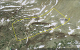
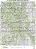
- A CD of all of the documented images of the claim including maps of the site.
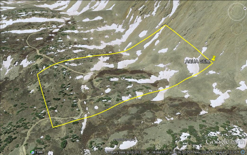
- Map of claim marked and GPS coordinates.
- Multiple maps showing claim location and surrounding areas for access.
SHIPPING
While we cannot physically ship land to you as it doesn't quite fit into the mail box ;)
We will ship all paperwork/maps upon payment clearing we ship same business day (if payment is received by 1PM P.S.T.) We always provide tracking information so you are always informed.
