


Description
APLITE GOLD Mine

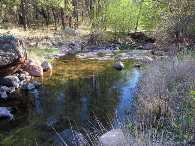
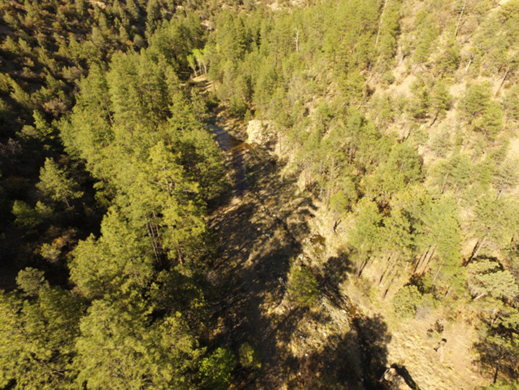
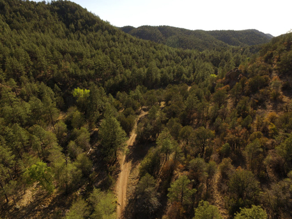
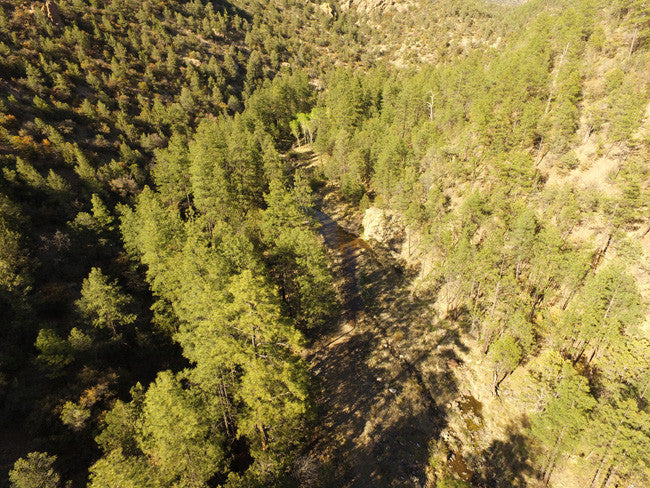
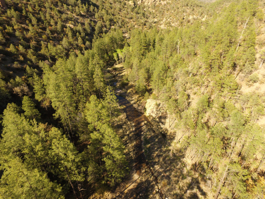
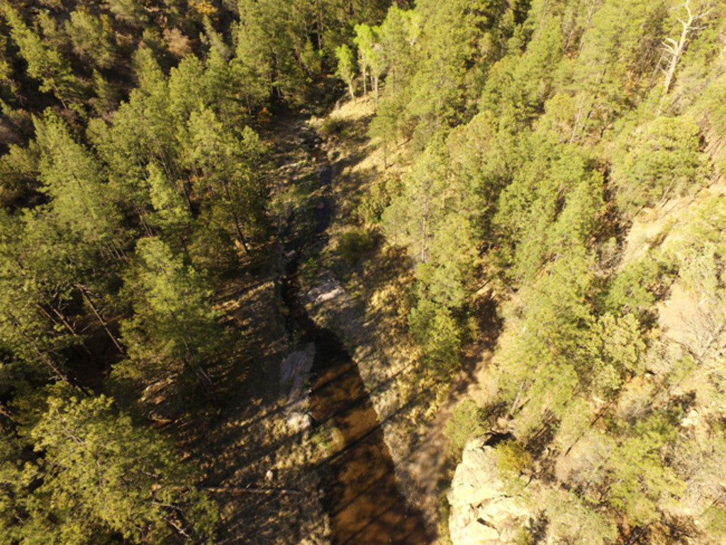
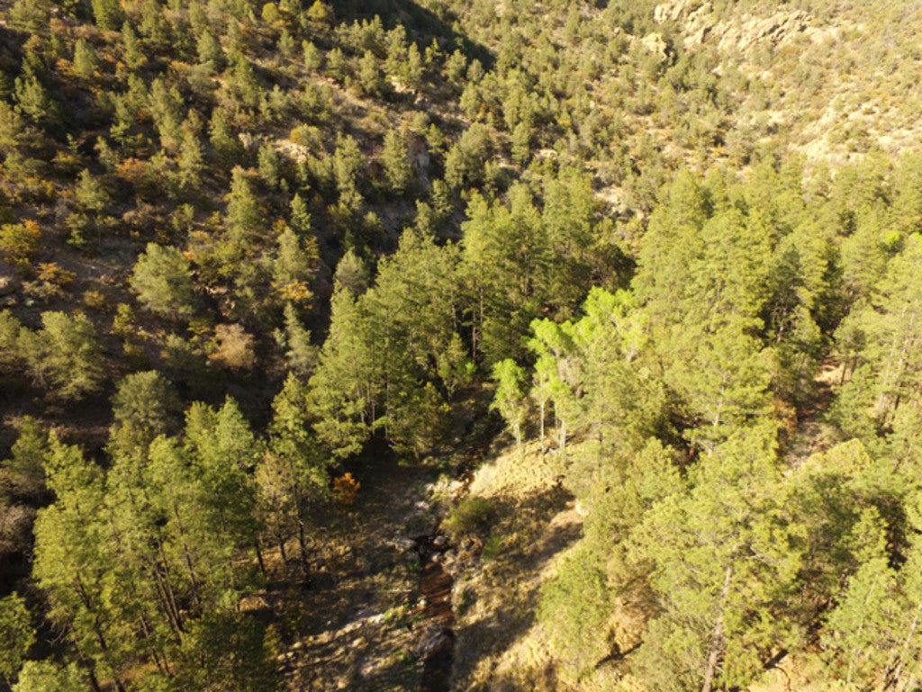
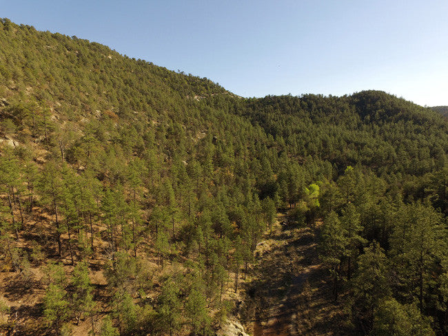
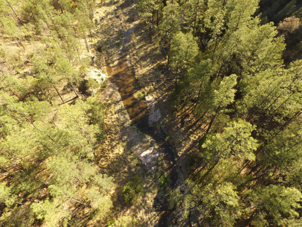
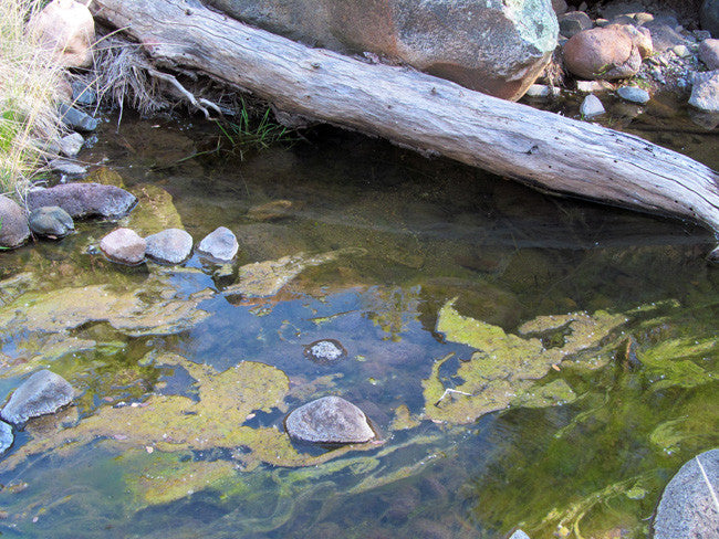
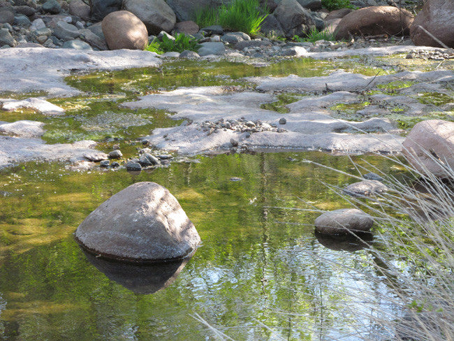
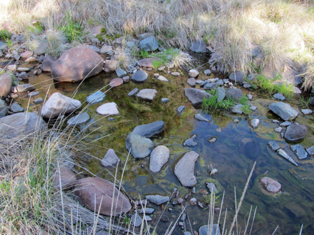
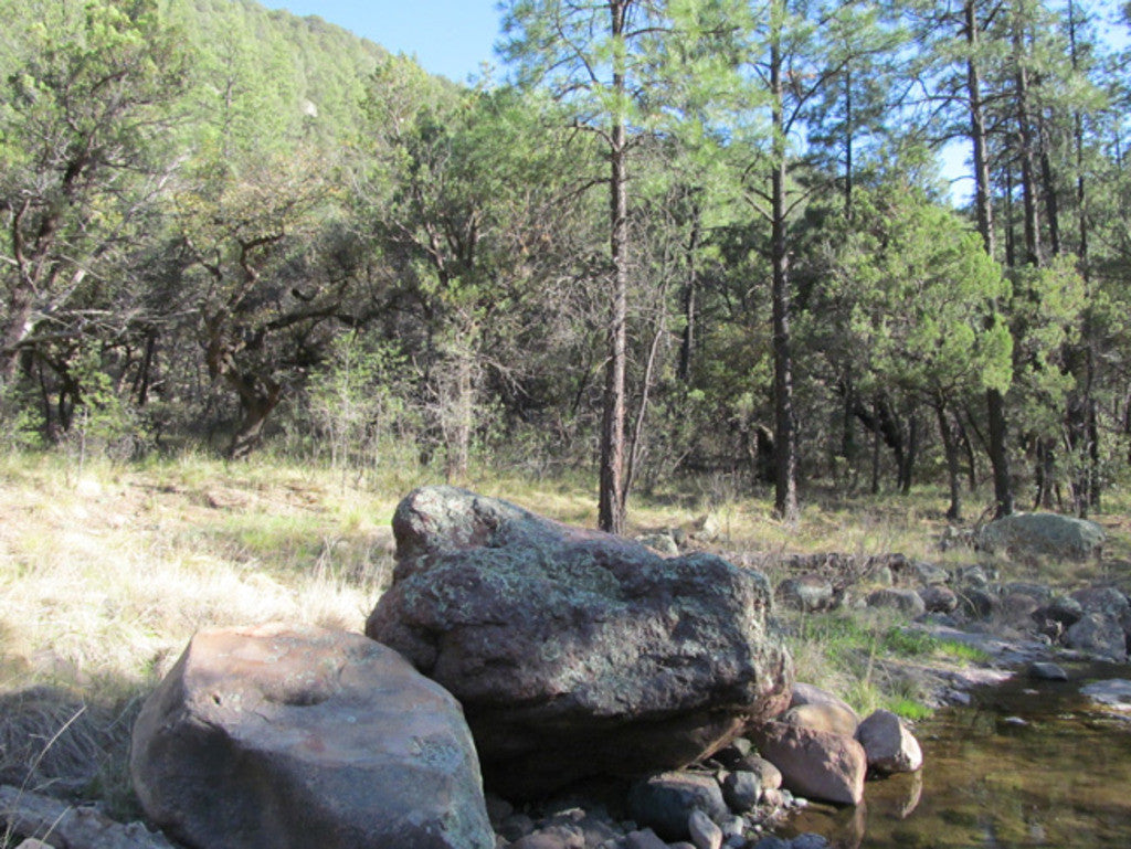
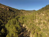
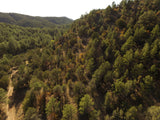
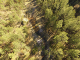
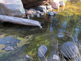
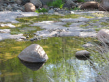
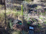
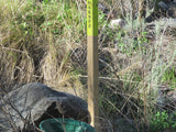
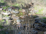
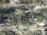
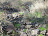
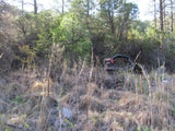
The Aplite Gold Mine has approximately 753 feet of creek to work at your leisure.
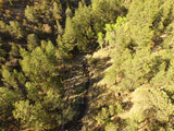
This creek runs year round - this is the lowest it is - spring melt/runoff happen around now can swell it by as much as 8 feet - the runoff from melting snow is what flushes the gold from the nearby lodes into the creek, and the debris was seen washed as much as 25 feet away from the main course of the creek. The runoff opens up new tributaries (temporary) and washes that are excellent spots to work in addition to the banks and creaked itself.
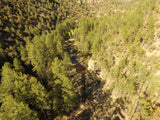
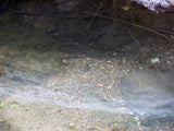
Normally the creek will range from 3 to 30 feet across and it has a depth of anywhere from 8 inches to probably 3 feet in some spots.
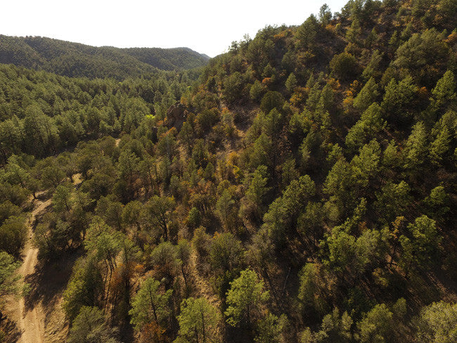
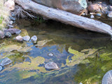
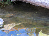
Our team saw a lot of bedrock on the surface and no more than a foot or two under gravel in a lot of spots. Lots of gravel to work with and good benches at each twist and turn of the creek.
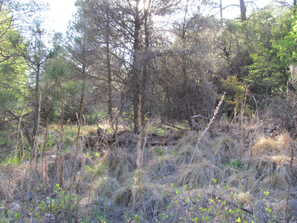
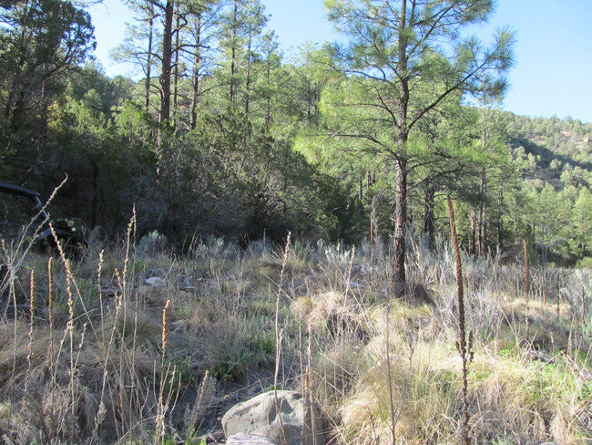
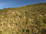
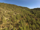
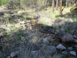
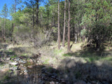
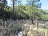
Whether you consider yourself a novice or experienced rockhound, you will find that Pinos Altos is a perfect base for short or extended collecting in this area. Some of the collectible gemstones and rocks can be found along Bear Creek.
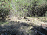
Remember to sample the vegetation for gold especially if you are planning on sniping as it is the easiest type of sniping ;)
Buyer will also receive the following with their completed transaction:
•Quitclaim deed showing full ownership of the claim. This will be stamped, recorded and verified with the County and the BLM offices.
•Welcome packet with all of the rules and regulations as they relate to the State and BLM where the claim is located.
•Educational documents to annually renew your mining claim with the BLM.
•A CD of all of the documented images of the claim including maps of the site.
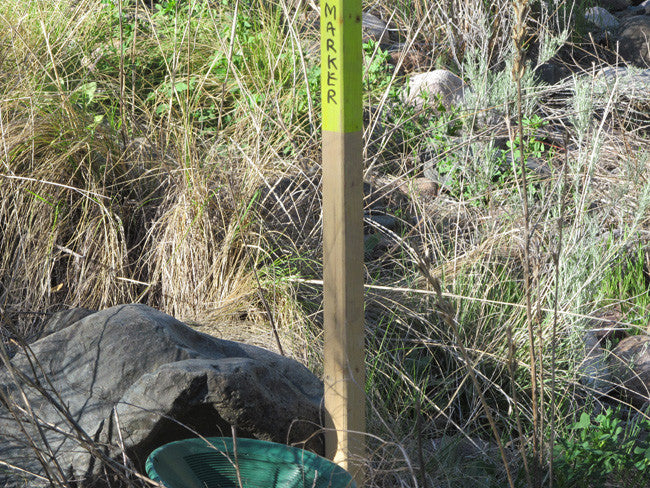
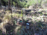
•Map of claim marked and GPS coordinates.
•Multiple maps showing claim location and surrounding areas for access.


ABOUT THE MINING DISTRICT
HISTORY
Bear Creek is located in the Pinos Altos district which is about 8 miles north-east of Silver City in the Pines Altos Mountains. Both placer and lode gold were discovered in 1860, and within 2 years about 30 lode mines were being worked. The Civil War and the postwar depredations of Apache Indians brought about almost complete abandonment of the camp for several years. In 1867, operations were resumed and they continued with brief interruptions until the late 1950's. 
Gold was the principal product in the early years. Silver, copper, and lead later gained significance, and after 1912, zinc was of major importance.
The most productive placer deposits in this mining district were found along Bear Creek Gulch, Rich Gulch, Whiskey Gulch, and unnamed gulches near the old Gillette shaft. The principal lode mines are on the east side of the Pines Altos Mountains; a few are on the upper western slope.
The Bear Creek drainage basin, with its headwaters in the Piños Altos Mining District, covers approximately 300 square miles of complex Tertiary volcanic and Tertiary and Paleozoic sedimentary rock terrain. This drainage is one of the larger secondary drainage systems in the area as it has been actively down cutting through thick sequences of rock formations of diverse origin and age for several million years. The result of this extensive and ongoing erosion is the diverse hodgepodge of rock types that make up the rocks covering the floodplain of the Bear Creek.

Some of the collectible gemstones and rocks that can be found along Bear Creek are white and pink chalcedony, chalcedony roses, red, brown and yellow jasper, jasper breccia, picture jasper, banded agate, zeolites, geodes, massive hematite, banded rhyolite, andesite, volcanic bombs, scoria, limonite and hematite-banded welded tuff, and lots of really nice colorful rocks! 
Grant County, contains several highly productive mining districts and ranks first in the State in the production of mineral wealth. The ore deposits are diverse and have yielded copper, lead, zinc, silver, gold, iron, manganese, and molybdenum. Total gold production of the county through 1959 was about 501,000 ounces. Before 1900 placers and oxidized ores were the chief sources of the gold, but from 1912 through 1959 much gold has been a byproduct of base-metal mining. The major districts are the Central, Pines Altos, and Steeple Rock.

ACCESS
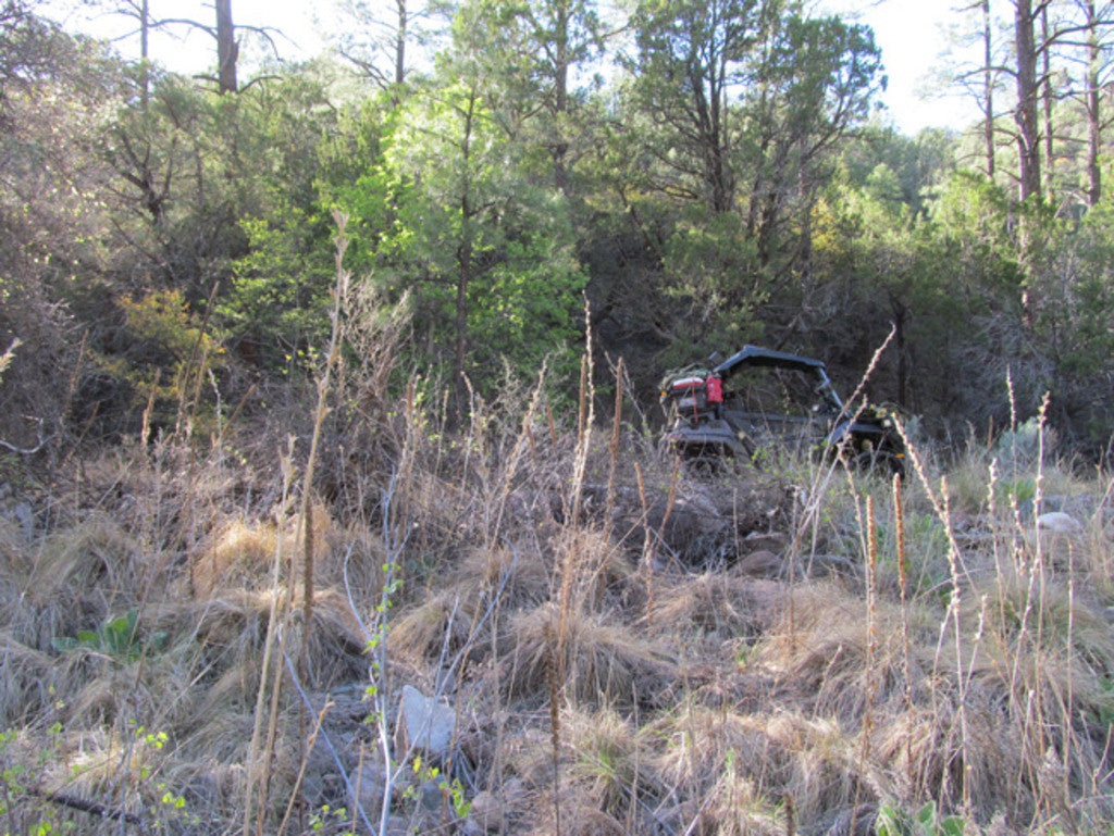
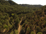
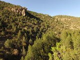
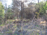
Access is available to the claim by 4WD. It is a little rough around the surrounding areas, but there is a dirt road that runs with the creek, to reach the claim. The actually goes through the claim, so you have easy access to the creek, and back to your vehicle for supplies. There are a few little hills around the claim, making it a little secluded and private. A small camper/trailer would be accessible to reach the claim.


Airports:
Turner Ridge Airport – 19.38 miles
Whiskey Creek Airport – 21.04 miles
Sacaton Landing Strip – 18.93 miles
Grant County Airport – 29.77 miles
Nearby Cities/Towns:
Silver City – 18.41 miles
Bayard – 24.85 miles
Arenas Valley – 21.11 miles
Pinos Altos – 16.78 miles
Gila – 5.51 miles
Buckhorn – 13.99 miles
Cliff – 7.62 miles


LEGAL NOTES
A mining claim gives the holder the right to mine on mineral-rich land that belongs to the federal government.
Mining claims are a tangible asset and show proof of all interests in minerals in the area. They can be bought, sold or used as collateral, just like any other piece of real estate. A mining claim can be sold, traded, leased, gifted, willed, used as collateral or transferred in part or in its entirety just like any other real property using a quitclaim deed which is a recordable conveyance.
We offer a lifetime guarantee should the BLM take back the land.
As the largest company in the mining industry selling legitimate and valuable historic claims, you can rest assured that you are not only covered with our 100% lifetime money-back guarantee, but you can also rest easy that there is no fine print on any of our claim listings telling you will have to deal with any games like being charged phony fees or having to pay inflated “processing” or “transfer” fees. The final price for this mine is ALL you will pay.
Our in-house legal counsel will complete all of the paperwork and documentation for recording and transferring FULL ownership AND we will ship you everything in one to two business days of receipt of your payment in full (usually just one day!). So you can plan to visit (and start working) your claim the next day without the lengthy delay you will experience with other companies selling claims –and you will not have to pay any extra costs, fees or other poor excuses for extra profit that normally just go into a seller’s pocket.
-PLUS-
We'll take care of all the paperwork and arrangements so you can enjoy your claim immediately after payment and we keep you informed through the entire process with confirmations when payment is received, when your paperwork has been shipped.
SHIPPING
While we cannot physically ship land to you as it doesn't quite fit into the mail box ;)
We will ship all paperwork/maps upon payment clearing we ship same business day (if payment is received by 1PM P.S.T.) We always provide tracking information so you are always informed.
