


Description
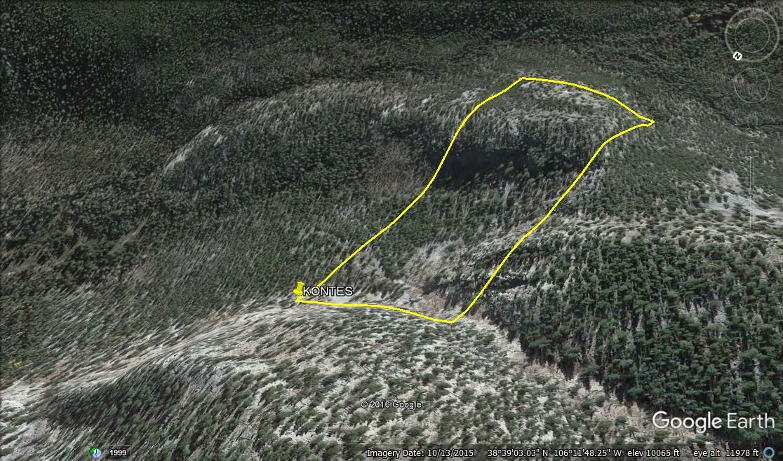
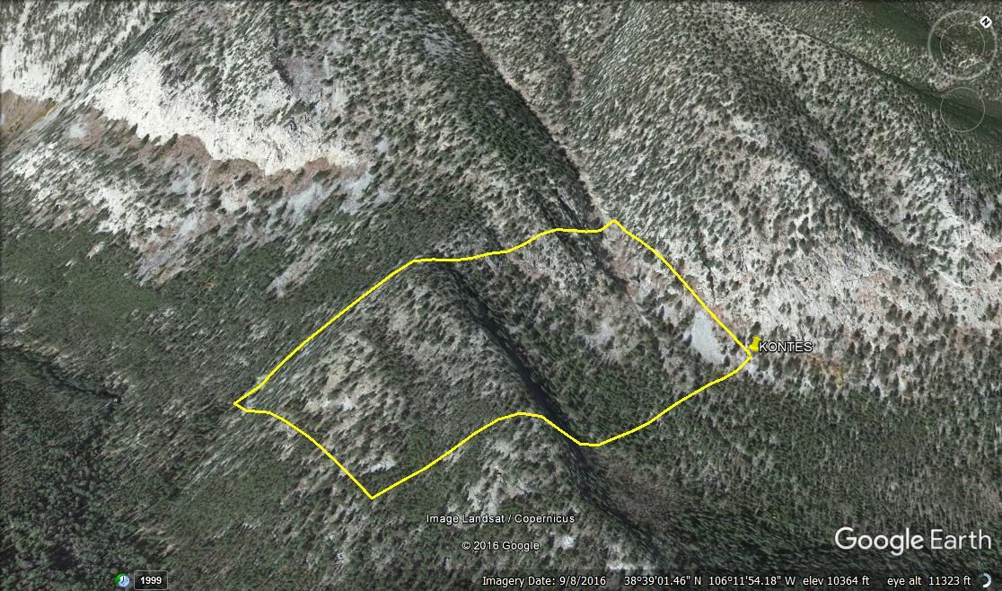
KONTES
CMC288958
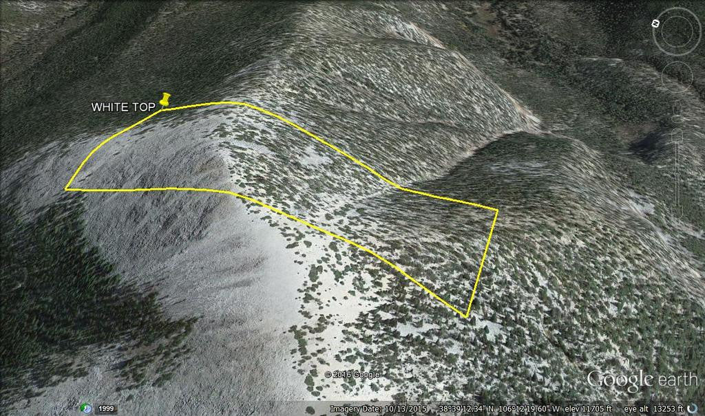
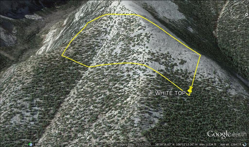
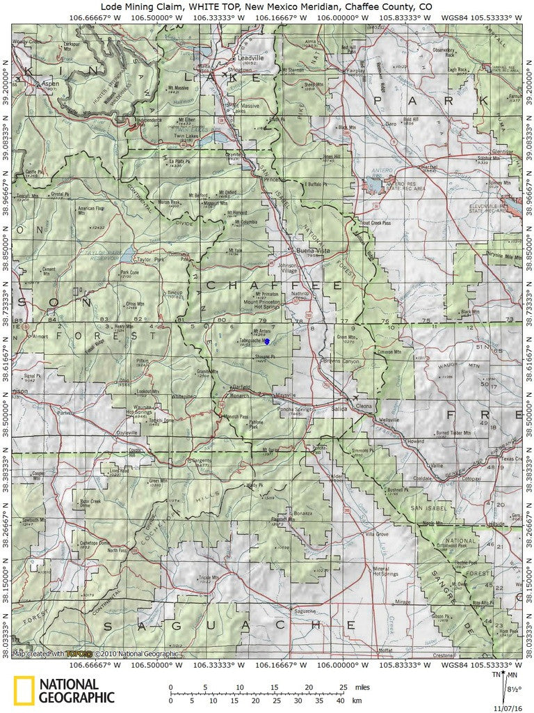
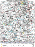
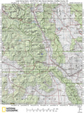
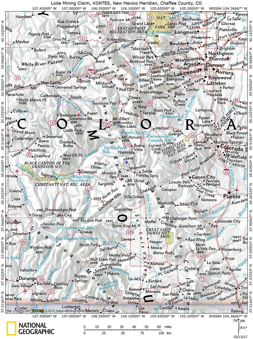
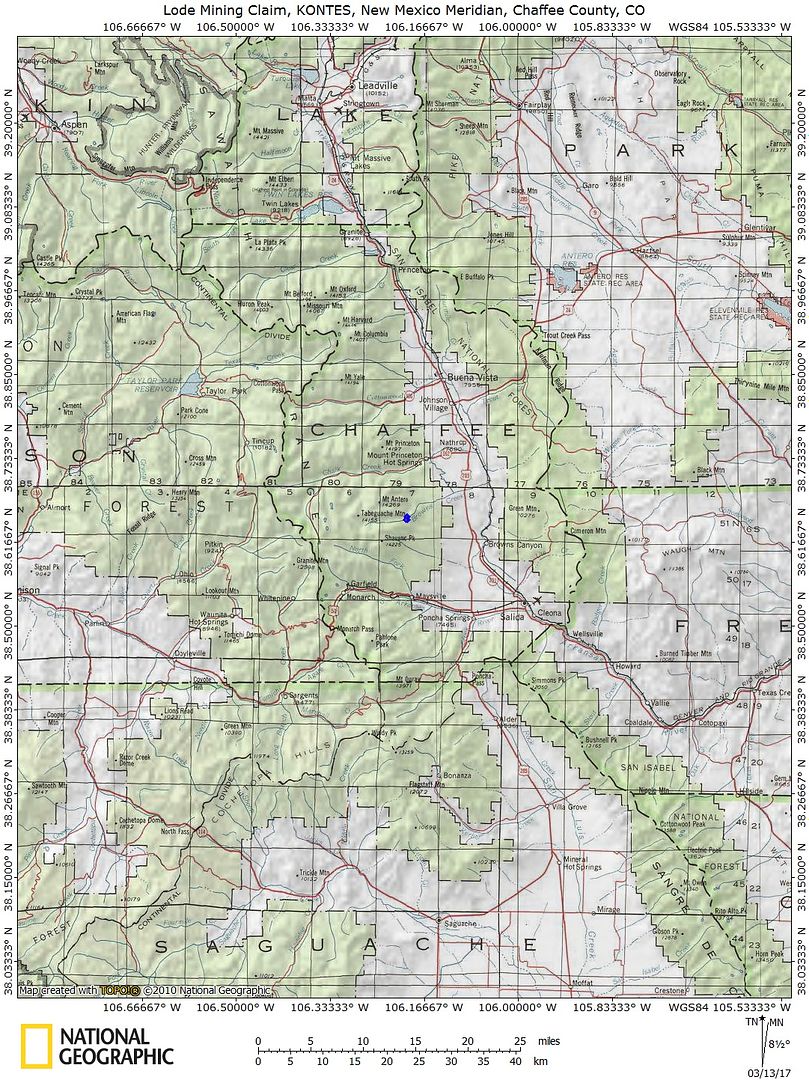
20.66 Acre Unpatented Lode Mining Claim on Federal Land in the Mount White Mining District / Chaffee County, Colorado
Mount White is practically covered with prospecting claims, this is your chance to get a claim before this area is all claimed up. Remember, you are not allowed to dig on somebody else's claim, only on the claim that you own mineral rights to so it is important that you have a hiker's handheld GPS device to properly locate your mining claim, we will give the claim owner the latitude / longitude to properly locate the claim.
| With this claim you will be getting the exclusive mineral rights to 20.66 acres on an excellent spot near the road to work at your leisure. Mt. White is known by many as a great place for recreation- not just by rock hounds, but by hikers, campers, climbers, and off-road enthusiasts as well. |
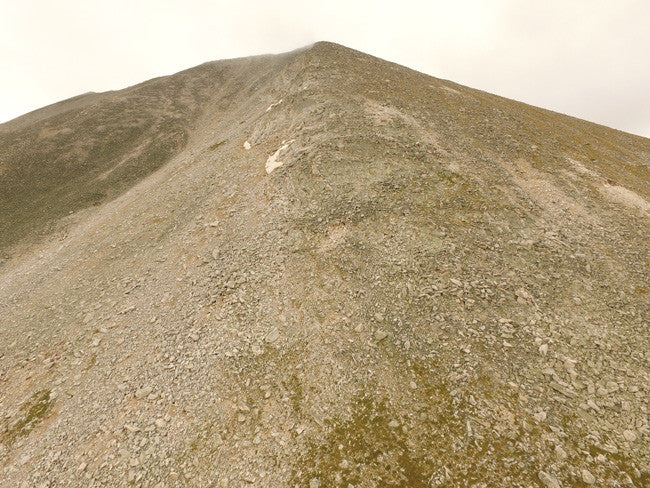
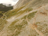
ELEVATION OF CLAIM: Ranges from 11,150-12,100 feet
(For more maps scroll down towards bottom of listing)
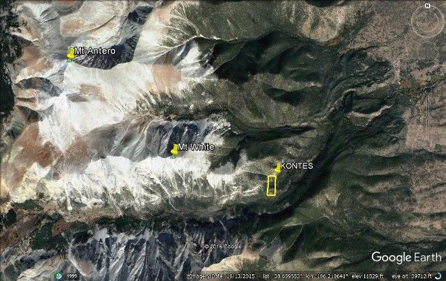
**Claims are about 3 miles SE from Mt Antero**
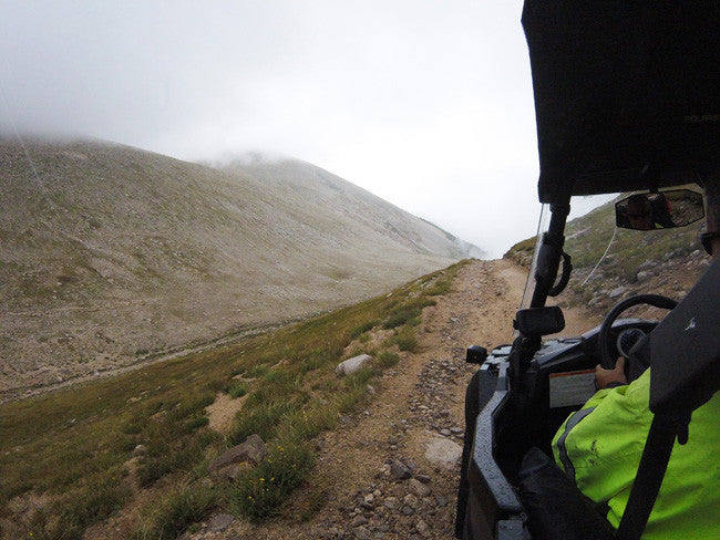
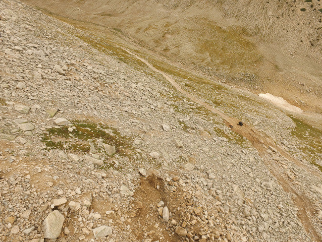
ACCESSIBILITY: 4WD / ATV via road then hike in.
| Access to this claim is NOT FOR THE FAINT OF HEART. To reach the claim, 4WD or ATV is the way to go. In order to access the mountain you will need to hike in. The Colorado trail will lead you to the bottom of the claim, where you can park and camp. |

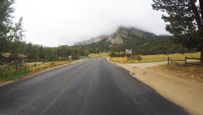
ACCESS
From the Chaffee County point:
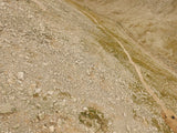
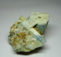
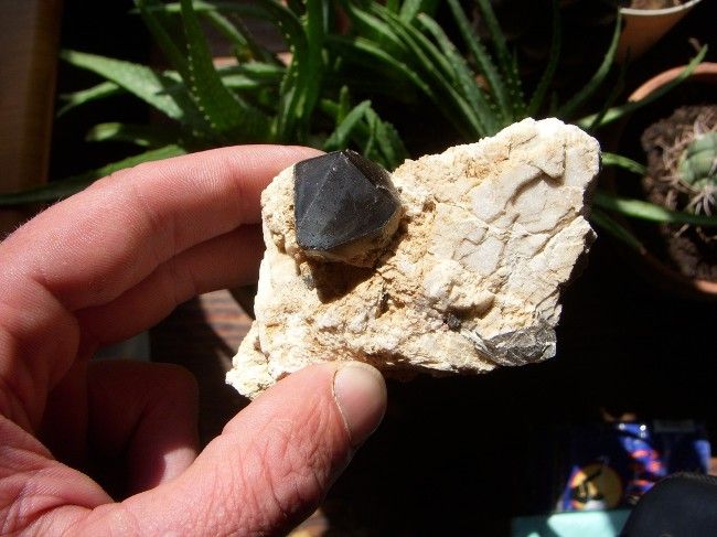
Below are samples that were found in the local area:
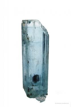
| Mt. White, like its neighbor Mt. Antero, has produced some fine aquamarines in its day. This gemmy aquamarine is glassy, light blue (typical for the area), and it actually is zoned, as seen in the lighter termination. The termination is complete, though has a large bevel on one edge. ) |
(Pheanakite crystal cluster, 23 x 21 x 17 mm. K. Nash specimen and photo / Right: Beryl)

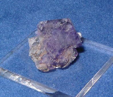
(On the Left: Albite/ Fluorite)
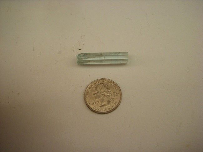
(Picture on the Left: Nice Smokey on Microcline from Mt. White Colorado / Right: Nice gem Aquamarine from Mt. White. )
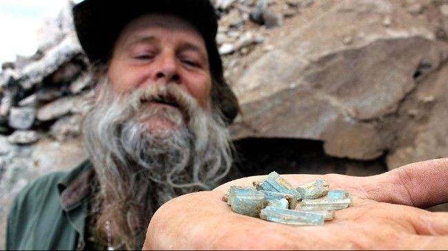
| Dwayne Hall shows off his aquamarine that he mined out of Mount White. (High Noon Entertainment) You may recognize him from the TV show Prospectors. Dwayne Hall mines aquamarine on Colorado's Mount White. He is originally from Kentucky, where he learned woodcarving. Dwayne came in second place in a world championship for woodcarving. After traveling around the country with his wife he decided to move to Colorado, where he began mining. Also from the same TV show, The Cardwell Family- Craig and Tracy Cardwell mine on Mount Antero. They have 16 claims from the South Knob to the Mount White Basin. |

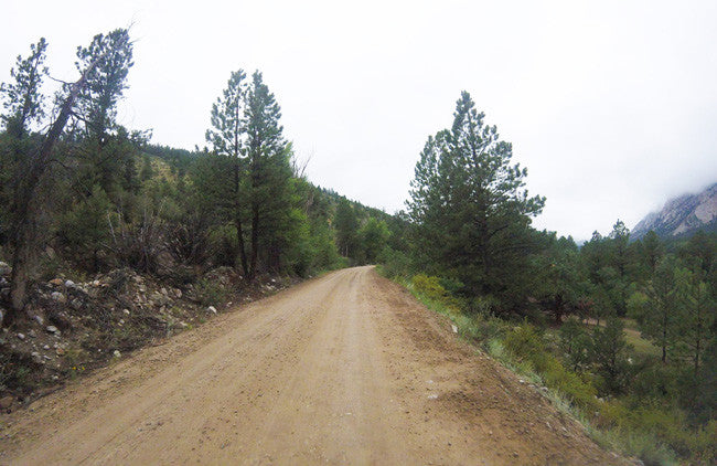
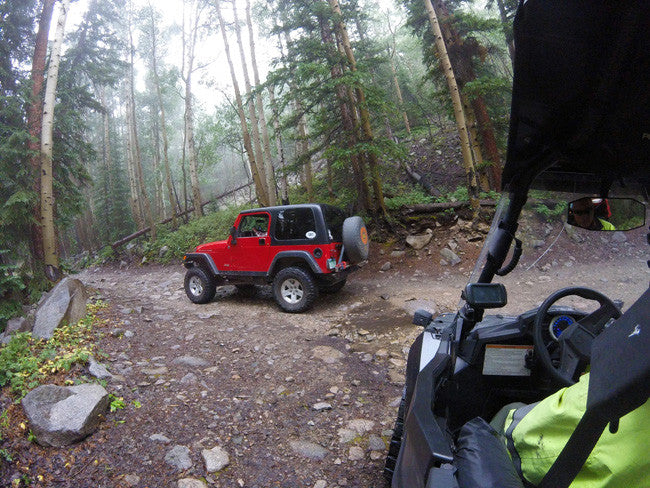
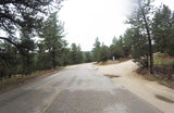
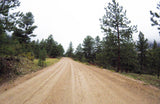
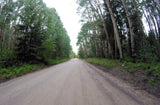
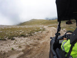
The road at the base of the hill is 2-WD Accessible
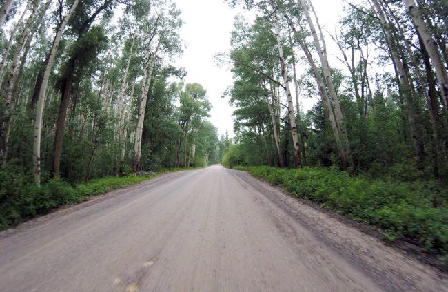
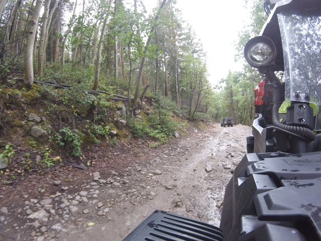
The 2-WD turns into a 4-WD so good tires / clearance is a must as you head up the hill


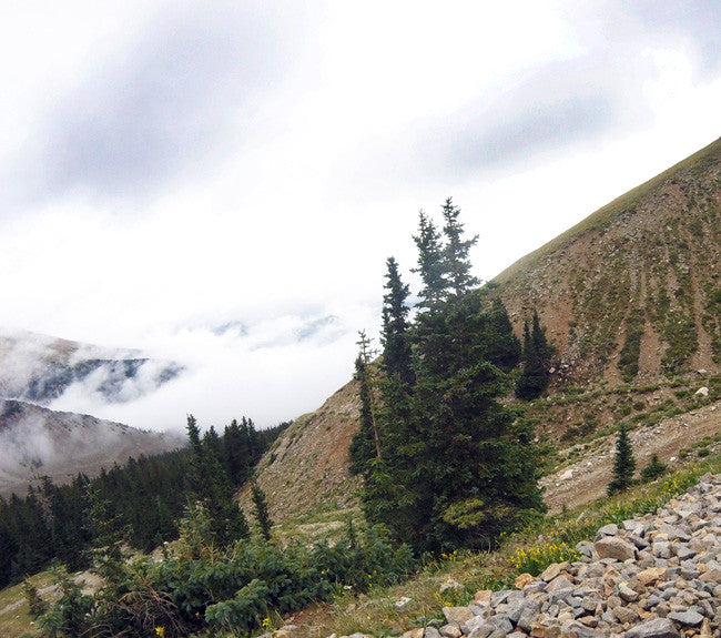
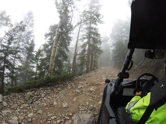
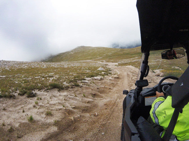
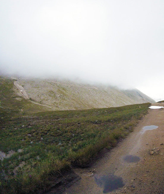
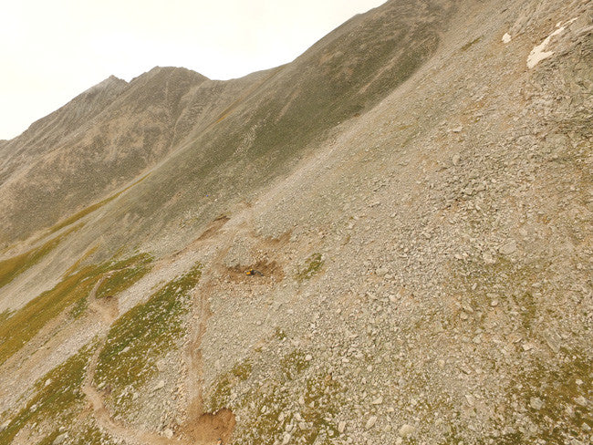
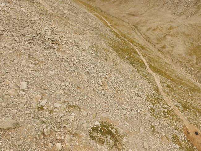
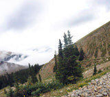
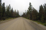
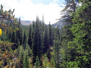
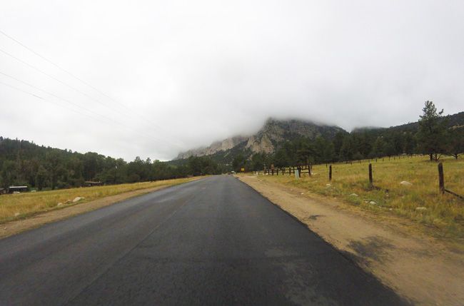
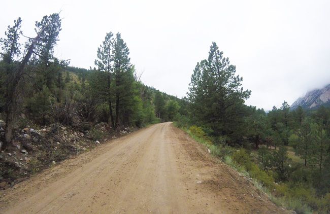
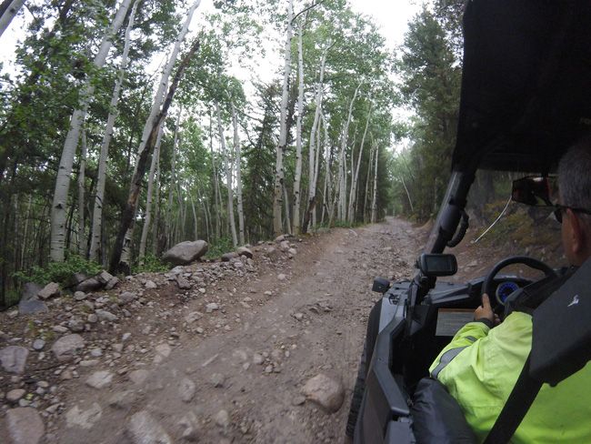
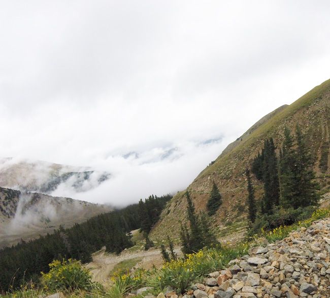
| As you head up towards the clouds the road gets rough and you may encounter little traffic as our team did |

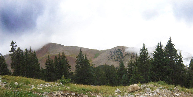
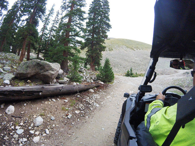
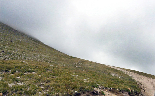
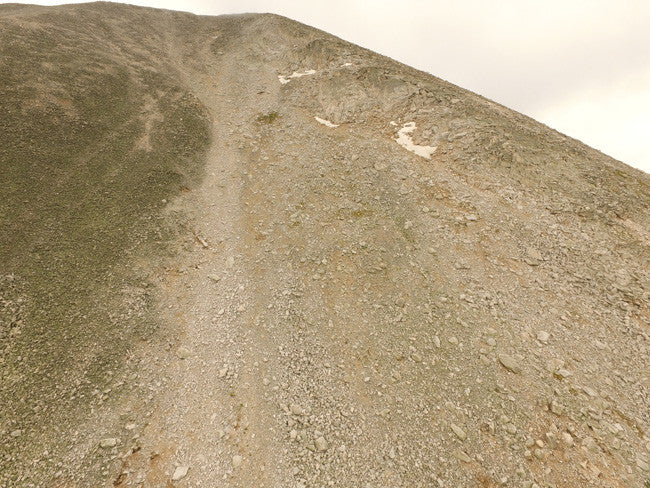
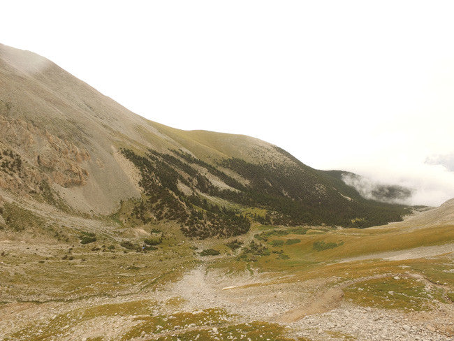
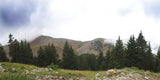
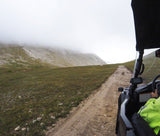
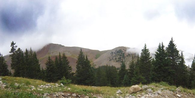
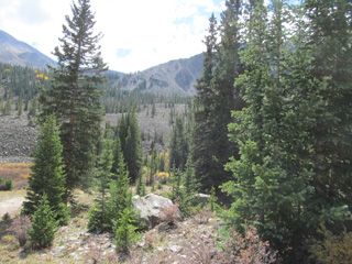
Heading out of the Sub Alpine Zone (and the tree line) into the Alpine Zone at Altitude


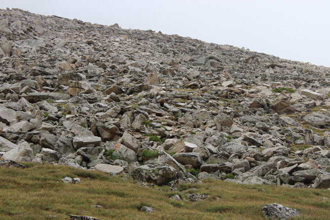
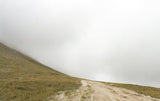
Collecting on Mt. White is for the hardy soul who is in good physical condition.
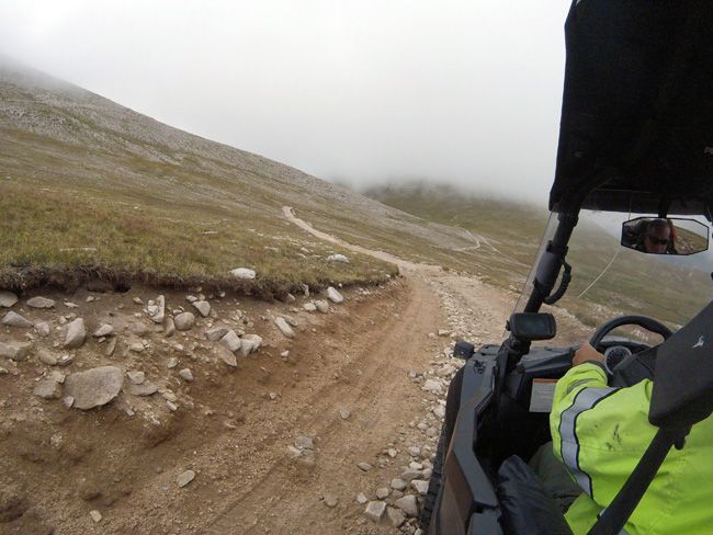
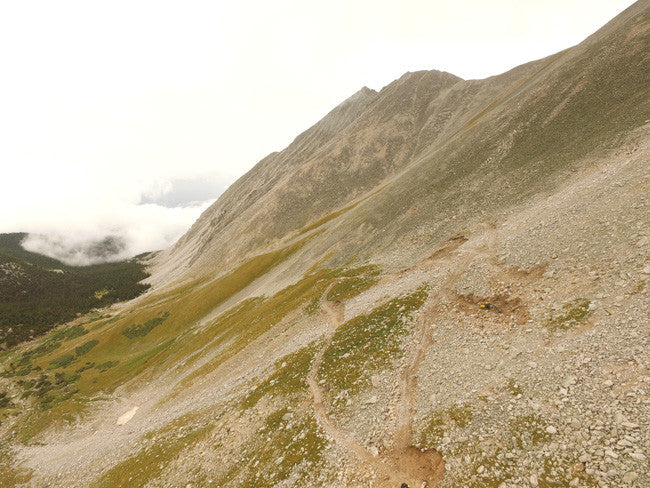
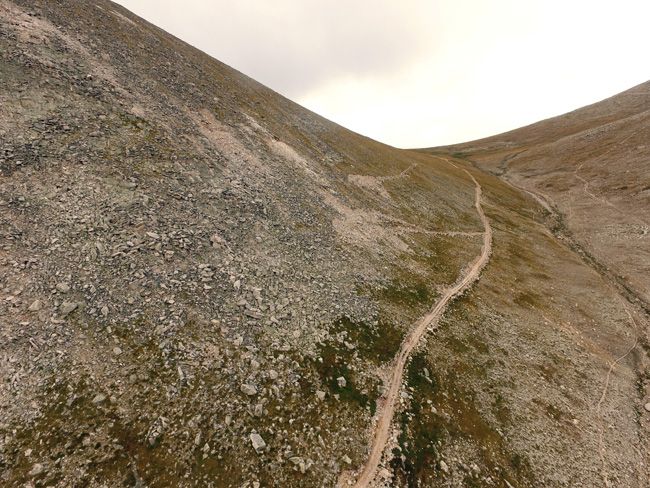
| The hardest and most beautiful part of the climb is maneuvering the switchbacks as pictured. Access along the Mt. Antero Road is slow due to the extremely rough road and many extreme switchbacks. It should be attempted only in a high clearance, 4WD vehicle. Making this trip and climbing to the summit leaves little time for collecting, so start early. Carry emergency supplies and proper clothing. Sudden, dramatic weather changes and thunderstorms are common. Get off the summit in the event of a storm. |

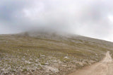
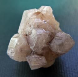
| This region is one of the most interesting mineral areas in North America. It is the third highest gem field in the world and is America’s highest gem field. Rare aquamarine crystals, bright blue beryl, goshenite, phenacite, betrandite, smoky quartz, microcline, topaz, fluorite, and apatite can be found on the talus slopes at around 14,000 feet. The minerals occur in small cavities and pegmatites in granite. But be aware that the weather is always unpredictable. Collecting here is difficult and the collecting season is very short--only about four months--since snow blocks the roads until the end of June. |
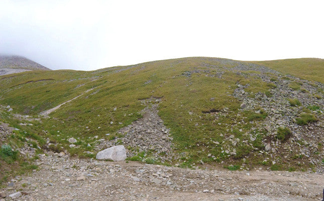
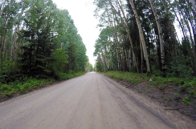
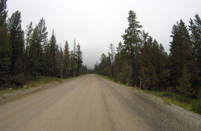
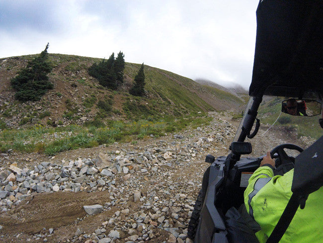
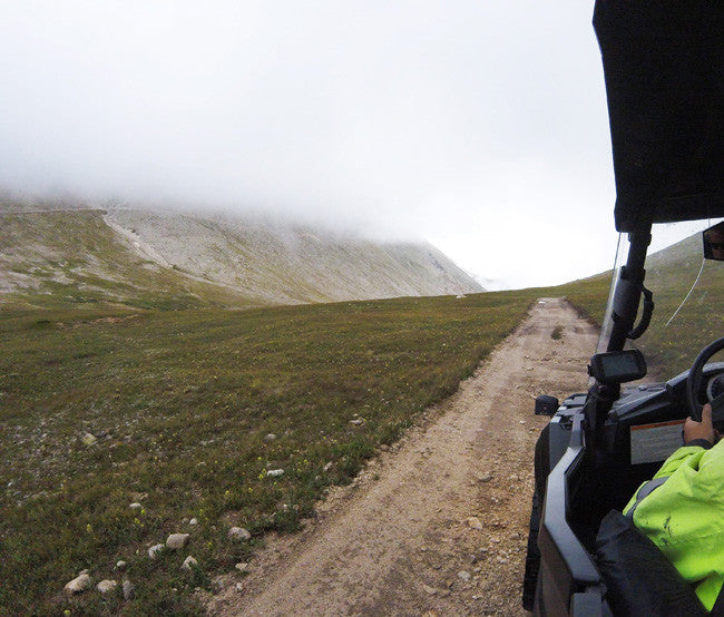
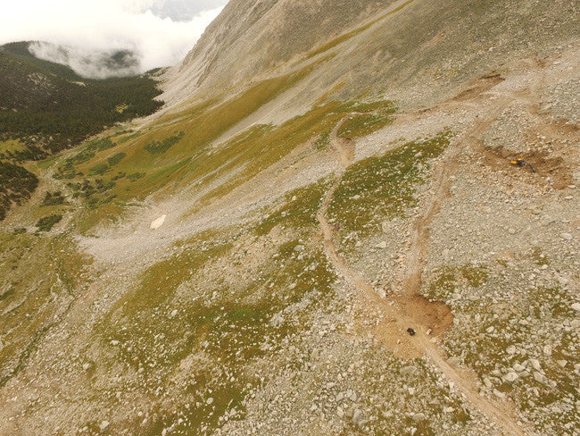
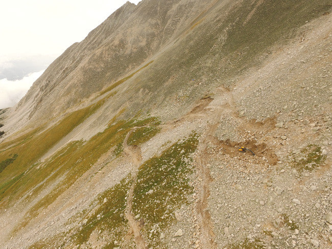
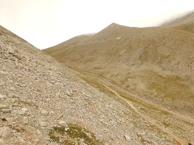
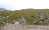
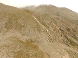
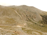
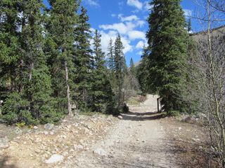
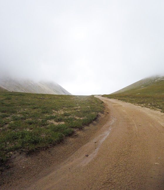
Above is the picturesque road on the way to the claim (Beautifully Treacherous)

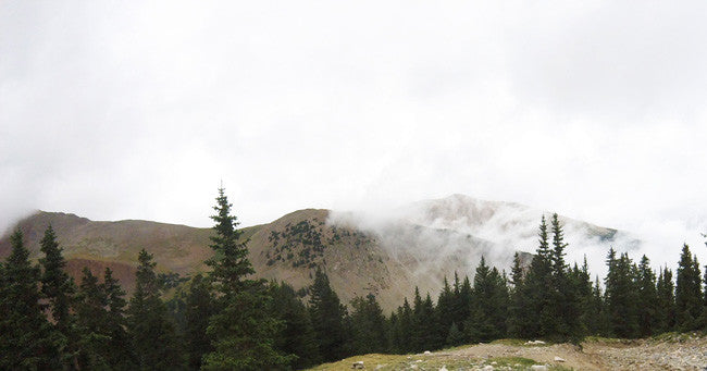
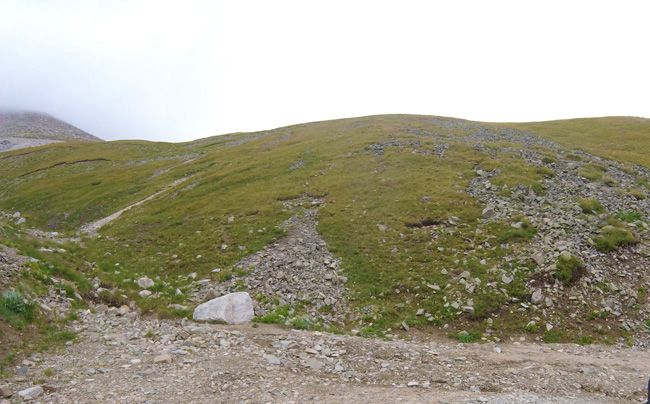
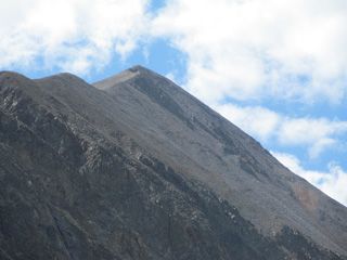
This is the high-saddle which connects Mt. Antero to Mt. White


Come to Hike, Camp, Ride and Shoot - or come to pull some shiny rock$ out of the ground;-)

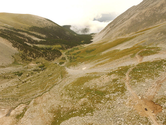
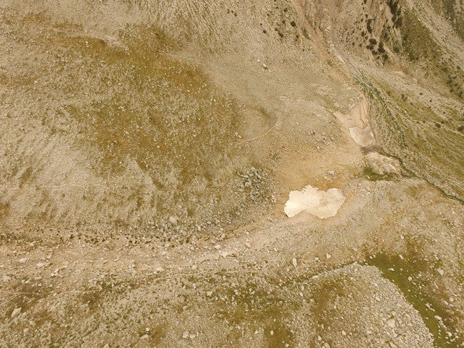
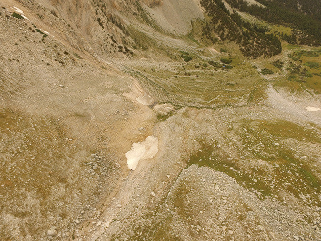
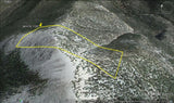
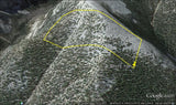
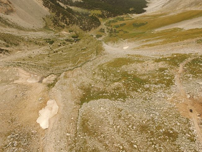
(Here is an overview of the area)


Buyer will receive the following with their completed transaction:
- - Quitclaim deed showing full ownership of the claim. This will be stamped, recorded and verified with the County and the BLM offices.
- - Welcome packet with all of the rules and regulations as they relate to the State and BLM where the claim is located.
- - Educational documents to annually renew your mining claim with the BLM.
- - A CD of all of the documented images of the claim including maps of the site.
- - Map of claim marked and GPS coordinates.
- - Multiple maps showing claim location and surrounding areas for access.
As the largest company in the mining industry selling legitimate and valuable historic claims, you can rest assured that there is no fine print on any of our claim auctions telling you will have to deal with any games like being charged phony fees or having to pay inflated “processing” or “transfer” fees. The final auction price for this mine when the auction ends is ALL you will pay.


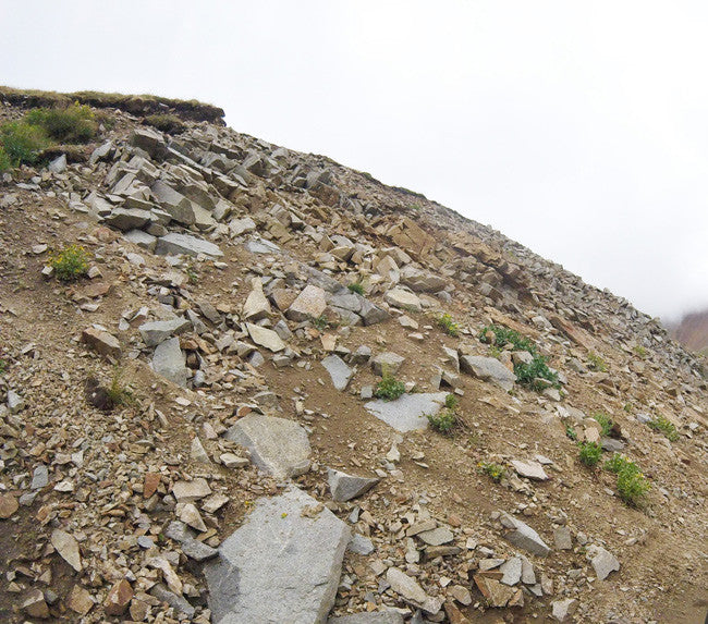
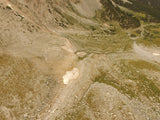
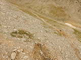
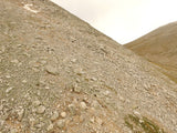
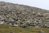
Pictures of the actual claim looking up

ABOUT THE MINING DISTRICT
Mount White MINING DISTRICT, CHAFFEE COUNTY, CO
Geography
|
Mount White and Mount Antero are often mentioned in the same sentence by gem collectors and geologists. They are both renowned in the world of gems and minerals, because they produce some of the highest concentrations of crystals and minerals to be found anywhere in fact the High Saddle is what connects the two. Aquamarine, beryl, calcite, fluorite, quartz, and zircon have been extracted from the slopes of Mount White. Other minerals, having longer names that only a geologist can appreciate, are also mined here. Mount White is Mount Antero's nearest neighbor, and they have a lot in common. First and foremost, is their importance as a source of minerals. These two mountains are connected by a broad 12,850' saddle, and a complex network of roads, all leading to mining digs. Mount White has two summits that appear equal in height as you approach from the east. The summits are about 300 feet apart. One is white and the other is gray. There are cairns on both summits. The east (white) summit is slightly higher, and the unofficial summit register resides there. |
Geology / History
|
While most people were searching for hidden gold and silver, they stumbled across a more precious treasure, Aquamarine. From sea green to sky blue coloring, these stones come from pockets or bubbles in the granite known by scientists as Miarolitic cavities. Other associated minerals include white feldspar, colorless quartz, smoky quartz, fluorite, and more rarely found orange to sherry topaz crystals as well as the beryllium mineral Bertrandite. Lost Canyon in Chaffee county had prospectors reportedly found gold nuggets "the size of eggs" in 1860 and took $60,000 in gold in a few short weeks before winter set in. When they returned the following spring, they were unable to locate the rich claim.
Among the earliest gold discoveries in the Colorado gold rush were placer deposits discovered in 1859 at the headwaters of the Arkansas River near Granite. By late 1860 most of the streams had been prospected, and numerous gold placers were reported along the Arkansas River to Buena Vista and beyond. The deposits along the Arkansas River and Cache Creek near Granite probably were the most productive, producing about 49,000 troy ounces of gold.
In many Colorado mining districts the easily discovered and worked placers were the first big strikes of a typical gold rush. But the free gold supply in stream beds quickly became depleted, and the initial phase was followed by prospecting for veins of lode gold that were the original source of the placer gold.[20] The hills above Granite are pockmarked with numerous old mining tunnels from hard rock mining, evidence of the second stage of a gold rush cycle. Their neighbors in Leadville went on to discover silver, resulting in a silver rush, but Granite never got that far. In just a few years their ore began to play out, and the town's population, once as high as 7000, began to decline. There are a few old structures and mine tailings remaining in the gulch from St. Elmo's busy mining days. |
Recreation
|
All visitors and users of the National Forests are subject to general Forest Service Regulations. The forest service publishes rules and guidelines on a variety of subjects, including camping, fires, vehicles, and pets. There are currently no fees required at the main access points to Mount White ( http://www.summitpost.org/mount-white/446757 ) |
A mining claim gives the holder the right to mine on mineral-rich land that belongs to the federal government.
Mining claims are a tangible asset and show proof of all interests in minerals in the area. They can be bought, sold or used as collateral, just like any other piece of real estate. A mining claim can be sold, traded, leased, gifted, willed, used as collateral or transferred in part or in its entirety just like any other real property using a quitclaim deed which is a recordable conveyance.
We offer a lifetime guarantee should the BLM take back the land.
As the largest company in the mining industry selling legitimate and valuable historic claims, you can rest assured that you are not only covered with our 100% lifetime money-back guarantee, but you can also rest easy that there is no fine print on any of our claim listings telling you will have to deal with any games like being charged phony fees or having to pay inflated “processing” or“transfer” fees. The final price for this mine is ALL you will pay.
Our in-house legal counsel and licensed real estate agent will complete all of the paperwork and documentation for recording and transferring FULL ownership of this mine into your name if you win the auction, AND we will ship you everything in one to two business days of receipt of your payment in full (usually just one day!). So you can plan to visit (and start working) your claim the next day without the lengthy delay you will experience with other companies selling claims –and you will not have to pay any extra costs, fees or other poor excuses for extra profit that normally just go into a seller’s pocket.
-PLUS-
We'll take care of all the paperwork and arrangements so you can enjoy your claim immediately after payment and we keep you informed through the entire process with confirmations when payment is received, when your paperwork has been shipped.

SHIPPING
While we cannot physically ship land to you as it doesn't quite fit into the mail box ;)
We will ship all paperwork/maps upon payment clearing we ship same business day (if payment is received by 1PM P.S.T.)
